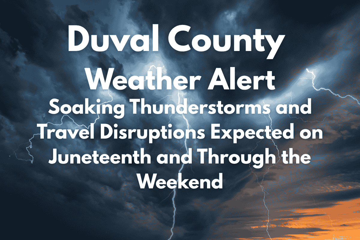
Jacksonville, FL – A wet and stormy pattern is set to dominate Duval County’s weather, starting on Juneteenth Thursday and continuing through the weekend. Jacksonville residents can expect daily afternoon thunderstorms that could disrupt outdoor plans and create hazardous travel conditions, especially along major highways like I-95.
Thunderstorms and Heat Combine for a Hazardous Juneteenth
According to the National Weather Service, the most significant weather threat will begin Thursday afternoon, with a 60% chance of showers and thunderstorms after 2 p.m. The storms are expected to bring heavy rain, lightning, and possibly strong gusty winds.
In addition to the storms, dangerously high heat index values could make it feel as hot as 102°F, creating a dangerous combination for anyone spending time outdoors. Officials advise staying hydrated, wearing sunscreen, and limiting exposure to the sun during the afternoon hours.
Stormy Conditions Continue Into the Weekend
Friday’s forecast brings even more stormy weather, with a 70% chance of showers and thunderstorms, primarily before 8 p.m.
Commuters traveling along I-95 and I-295 should expect sudden downpours, which could reduce visibility and make roads slick. The risk of lightning and localized heavy rain will persist, so travelers should exercise caution.
The weekend weather remains unsettled, with a 50% chance of afternoon storms on Saturday and a 40% chance on Sunday. Mornings will be mostly sunny, but afternoon thunderstorms are likely to cause interruptions to outdoor activities. This wet and humid weather pattern is expected to last into early next week.
Five-Day Jacksonville Forecast:
| Day | Weather Conditions | High Temperature | Chance of Showers & Thunderstorms |
|---|---|---|---|
| Wednesday | 30% chance of showers and thunderstorms, mainly after 2 p.m. | 93°F | 30% |
| Thursday | Showers and thunderstorms likely after 2 p.m. | 93°F | Likely after 2 p.m. |
| Friday | Showers and thunderstorms likely, mainly before 8 p.m. | 93°F | Likely before 8 p.m. |
| Saturday | 50% chance of showers and thunderstorms after 2 p.m. | 92°F | 50% |
| Sunday | 40% chance of showers and thunderstorms | 91°F | 40% |
Prepare for Storms and Heat
Residents of Duval County should be ready for frequent thunderstorms and high humidity this week. As we head into Juneteenth and the weekend, thunderstorms could disrupt outdoor plans and affect travel along major highways like I-95. Be sure to monitor weather alerts, stay hydrated, and be cautious on the roads, especially during the afternoon and evening hours when storms are most likely to develop.


