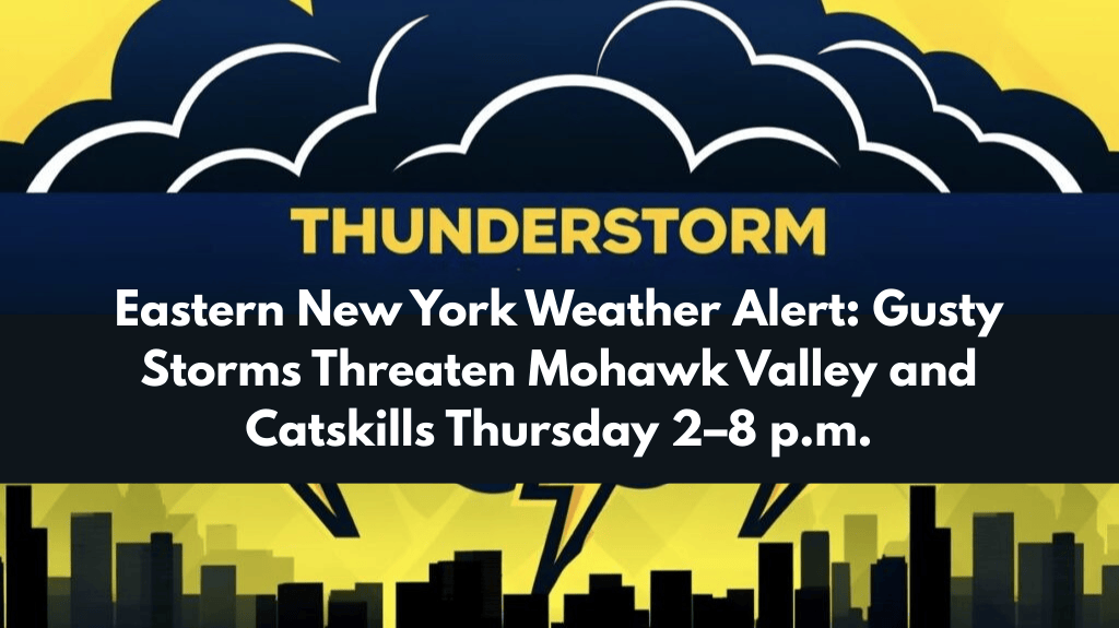
Strong thunderstorms are expected to develop across eastern New York Thursday afternoon, with the main hazard being damaging winds from about 2 p.m. to 8 p.m. as a cold front moves through the region.
Timing and setup
Storms will form ahead of an approaching cold front and sweep east during the mid to late afternoon, lining up with the 2–8 p.m. window for strongest impacts.
Meteorologists highlight isolated strong cells rather than widespread severe storms, but any robust storm could produce gusty winds as the front advances.
Areas at risk
The Mohawk Valley, western Adirondacks, and Catskills are favored for development and eastward progression of storms through the afternoon and early evening.
Communities including Glens Falls, Utica, and Kingston should plan for brief downpours, frequent lightning, and wind gusts capable of downing tree limbs and causing isolated power outages.
Travel and outdoor impacts
Late-day outlook
Storm chances diminish Thursday night as cooler air filters in behind the front, easing the severe threat and shifting the focus to lighter, post-frontal showers if any linger.
Additional updates may be issued if storms intensify or warnings are needed during the peak afternoon and early evening window.


