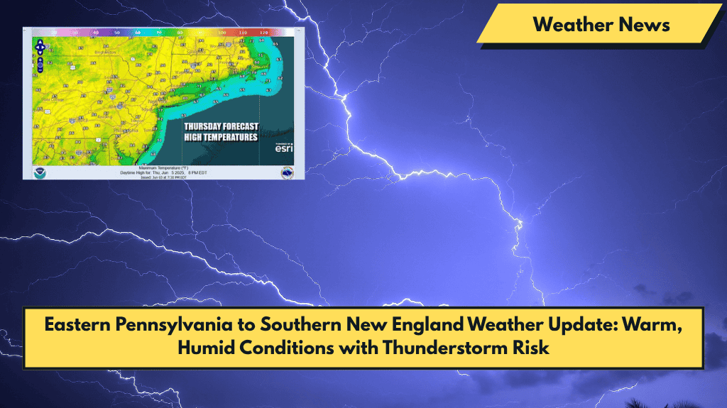
Eastern Pennsylvania to Southern New England is experiencing its third consecutive day of highs in the 80s and partly sunny skies. For most of Eastern Pennsylvania, Southern New England, and Long Island, there are no significant weather issues to worry about today.
Thunderstorm Risk Today: Isolated Severe Storms North of Route 84
However, thunderstorms are expected to develop later today, particularly well inland and north of Route 84. The Storm Prediction Center (SPC) has issued a marginal risk for isolated severe thunderstorms in these areas, which means some storms could be strong but are not expected to be widespread. These storms will form later in the afternoon and should dissipate by sunset.
Increasing Humidity and Weather Front Moving In
A rise in humidity is expected as dew points climb into the 60s today, making it feel a bit more muggy. A weather front situated across Upstate New York will start to move southward on Friday, and a wave on the front will push the southern portion of the boundary to the east across Pennsylvania.
This will bring a higher chance for downpours and thunderstorms by Friday afternoon and night. The SPC has issued a marginal risk for isolated severe thunderstorms from Northern New Jersey, the Hudson Valley, and points northward.
Friday Forecast: Showers and Thunderstorms in the Evening
On Friday, we’ll see partly sunny skies through the afternoon, with highs again reaching into the 80s. However, by late afternoon to evening, the chance for showers and thunderstorms will rise. Expect a humid night with temperatures in the 60s. North of NYC and Philadelphia, there is less of a chance for thunderstorms.
Weekend Outlook: Showers, Thunderstorms, and Clouds
Saturday will bring cloudy skies and the risk for showers and thunderstorms, although it won’t be a full day of rain. There will be dry stretches between the storms. The front will eventually push through by Saturday night, but it will take most of the day for the front to pass.
Saturday’s highs will be in the 70s, as the front brings cooler and drier conditions. By Sunday, we can expect some improvement, with a mix of cloudy to partly sunny skies. Highs on Sunday will again be in the 70s.
5-Day Forecast for Eastern Pennsylvania and Southern New England (June 6–10)
- Friday, June 6: High of 80s, partly sunny with a risk of thunderstorms by **late afternoon/evening.
- Saturday, June 7: High of 70s, cloudy with showers and thunderstorms, dry spells possible.
- Sunday, June 8: High of 70s, cloudy to partly sunny, slight chance of showers.
- Monday, June 9: High of 70s, improving conditions with partly sunny skies.
- Tuesday, June 10: High of 75°F, sunny and dry.