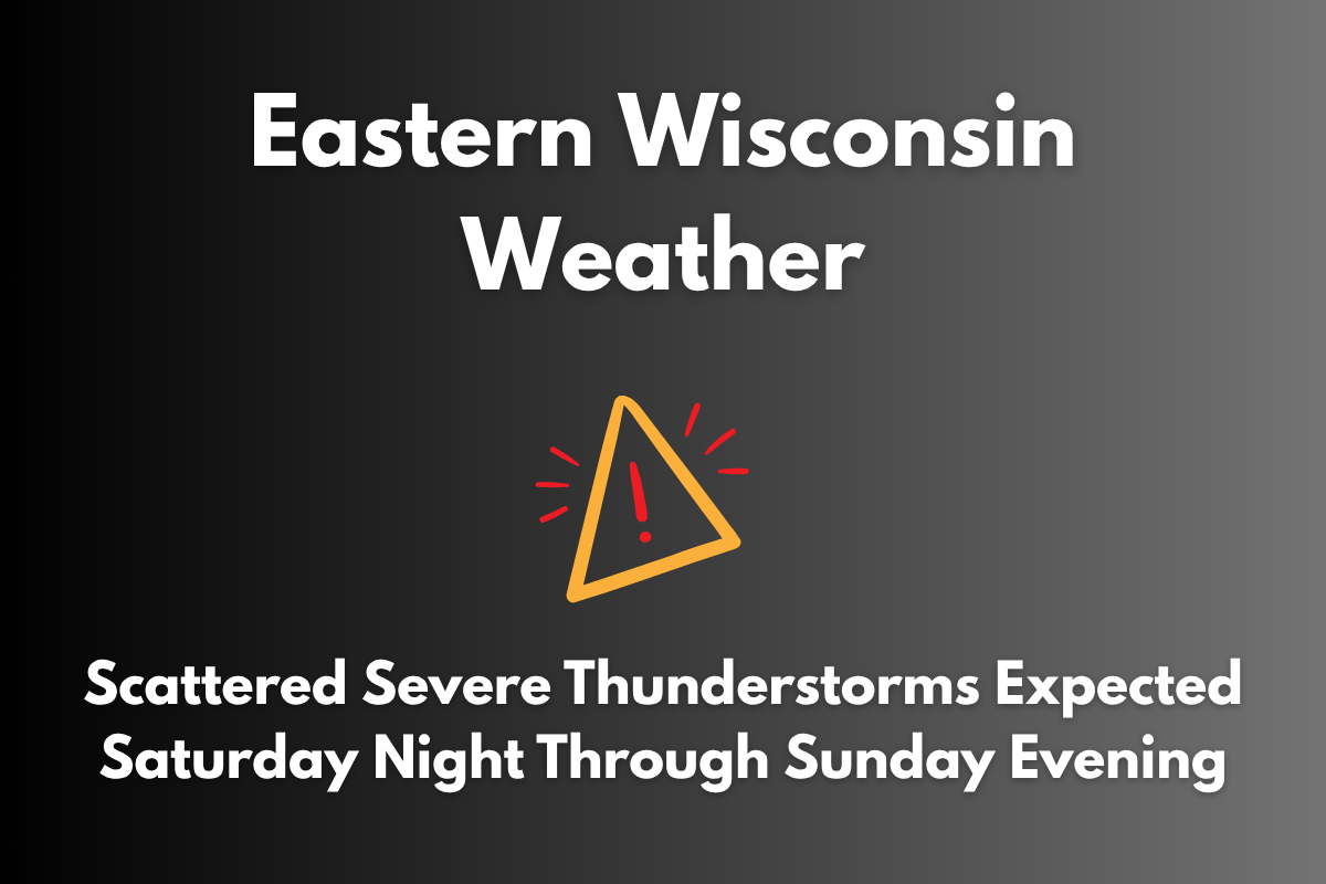
Severe thunderstorms are expected to impact western and central Wisconsin this weekend, with the most intense storms likely to occur on Saturday night and again Sunday afternoon. Strong winds, large hail, and heavy rainfall are the primary threats from these storms.
Timing and Risk Areas
According to the National Weather Service in La Crosse, two rounds of storms are expected. The first will develop early Saturday morning west of the Mississippi River. The second, more severe round will arrive late Saturday night. A Level 2 (Slight Risk) has been issued for areas such as Red Wing and Minneapolis on Saturday, while cities like La Crosse, Austin, and Rochester fall under a Level 1 (Marginal Risk).
On Sunday, the storm risk shifts east. Cities like Eau Claire, Wisconsin Dells, and River Falls are now included in the Level 2 risk for severe storms. The storms are expected to develop in the afternoon, bringing the potential for hail and damaging wind gusts before they subside in the evening.
Safety Precautions
Residents with outdoor plans this weekend are urged to stay aware of changing weather conditions, especially by Sunday afternoon in eastern Wisconsin. It’s a good idea to secure any loose items and have a shelter plan ready in case severe weather or warnings are issued.
Weekend Weather Outlook
| Day | Weather | High Temperature | Additional Information |
|---|---|---|---|
| Friday | Mostly sunny | 84°F | Calm winds |
| Saturday | Early and late storms expected | 80°F | Damaging winds possible overnight |
| Sunday | Scattered severe storms in the afternoon | 82°F | Storms tapering in the evening |
| Monday | Partly cloudy and cooler | 77°F | – |
| Tuesday | Mostly sunny | 80°F | Light breeze |
Stay updated as additional warnings or watches may be issued depending on how Saturday’s storms develop.


