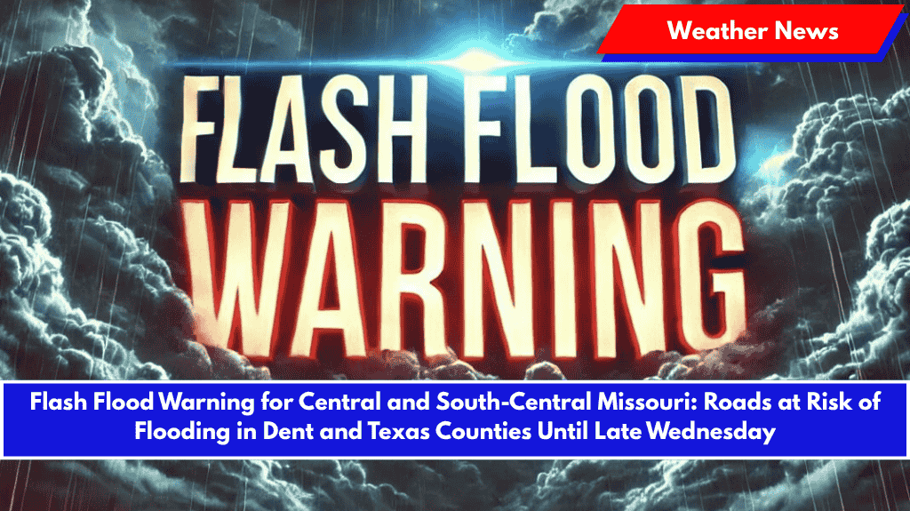
Salem, Mo. – Flash flooding is threatening parts of central and south-central Missouri Wednesday evening, with heavy rainfall expected to continue soaking roads, creeks, and low-lying areas.
The National Weather Service in Springfield has issued a Flash Flood Warning that remains in effect until 10:30 p.m. for the following areas:
- Southeastern Pulaski
- Southern Phelps
- Northwestern Dent
- North-Central Texas counties
Hazardous Conditions Due to Heavy Rainfall
Radar shows thunderstorms producing rainfall rates of 1 to 2 inches per hour, with an additional 1 to 2 inches possible throughout the evening. Flash flooding is already ongoing or expected in the following locations:
- Southern Fort Leonard Wood
- Salem
- Licking
- Edgar Springs
- Lenox
- Anutt
- Lecoma
- Beulah
- Lake Spring
- Hazelton
- Howes
- Bangert
- Sligo
These areas are experiencing dangerous conditions, particularly on rural roads, creeks, and underpasses, where floodwaters are rising rapidly.
Hazardous Low Water Crossings
Several low water crossings in the area are especially hazardous. These include:
- Boone Creek at Boone Creek Road
- Dry Fork Creek at County Road 2430
- Big Piney River at Highway BB
- Little Piney Creek at Highway H
- Crooked Creek at Highway TT
- Norman Creek at County Road 4220
Safety Precautions
Residents in the affected areas are urged to stay off flooded roads, avoid low-lying routes, and never attempt to drive through water-covered crossings. Floodwaters can rise quickly and become life-threatening.
Prepare for Ongoing Flash Flood Risk
Flash flood risks will continue through the night, with the potential for additional warnings if storms stall or intensify. Residents are advised to stay alert, charge their devices, and monitor local weather updates for emergency alerts.


