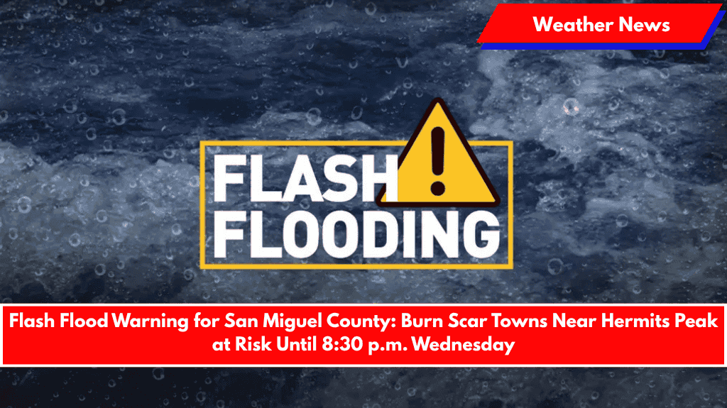
Las Vegas, N.M. – Dangerous flash flooding is expected this evening in northwestern San Miguel County as thunderstorms bring heavy rainfall over the Hermits Peak and Calf Canyon burn scars.
The National Weather Service in Albuquerque has issued a Flash Flood Warning in effect until 8:30 p.m. MDT for the affected areas. Radar shows rainfall of up to 0.5 inches falling over unstable terrain that has been scarred by past wildfires. This type of rainfall can quickly trigger debris flows, including mud, rocks, and vegetation, rushing through creek beds and across roads with little warning.
Communities at Immediate Risk
The following communities are at immediate risk of flash flooding:
- El Porvenir
- Montezuma
- Gallinas
- Sapello
- Mineral Hill
- Rociada
- Manuelitas
- San Geronimo
- Tierra Monte
These areas lie below steep burn slopes feeding into Tecolote Creek and Gallinas River, both of which are highly susceptible to flooding tonight.
Flood-Prone Roads
The following roads are especially vulnerable to flooding and debris flows:
- State Road 94 (MM 1–9)
- State Road 518 (MM 10–16)
- State Road 283 (MM 7–12 and near MM 14)
- State Road 276 (MM 0–5)
- State Road 266 (MM 0–6)
- State Road 65 (MM 1–14)
- State Road 105 (MM 0–6)
- Cunningham Road, Cinder Road, and Campus Drive along the Gallinas River
Safety Precautions
Travel is strongly discouraged in these areas, as roads may become impassable with little notice. Residents in flood-prone areas should avoid low-lying spots and seek higher ground if conditions worsen.
The flash flood threat will remain active through Wednesday night, and more warnings may be issued if storms continue to develop over the burn scar region.


