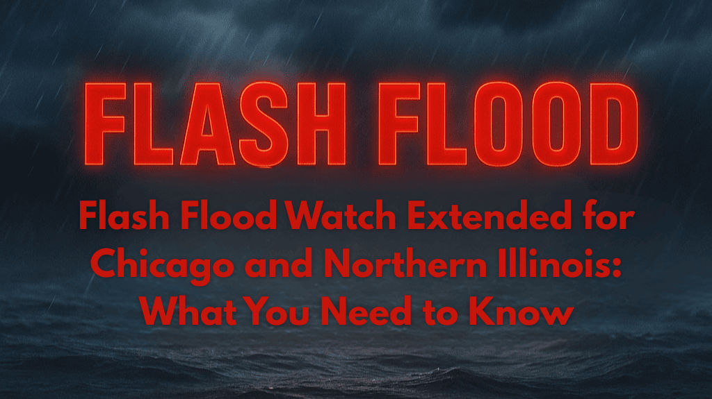
Residents and drivers across Chicago and northern Illinois are being warned to prepare for potential flash flooding, with a Flash Flood Watch now extended until Saturday evening. Torrential rains and thunderstorms are set to affect the region, causing concerns about road closures, rising creeks, and flooded basements.
Affected Areas and Timing
The National Weather Service has issued a Flood Watch for Cook, DuPage, Kane, Will, Lake, and surrounding counties, including major cities like Chicago, Aurora, Joliet, Naperville, Elgin, and Rockford. The watch also extends into Lake County, Indiana. The alert will remain in effect through at least 8 p.m. Saturday, with rainfall rates of up to 2 inches per hour possible during the heaviest storms. Recent rainfall has already made the ground saturated, increasing the risk of flash flooding.
Communities near rivers such as the Des Plaines and Fox Rivers, as well as highways like I-55, I-88, and I-90, are particularly vulnerable to rapid water rises.
Risks and Safety Measures
As heavy storms move through the region, flash flooding is expected, especially in low-lying areas and those with clogged urban drains. Local emergency management is urging drivers to avoid flooded streets and to remember the critical safety message: “Turn Around, Don’t Drown.” Residents are advised to secure valuable items from basements, charge phones, and clear debris from storm drains before the rain intensifies.
With the ground already saturated, any additional rainfall will increase the chance of flooding, particularly in neighborhoods that are prone to poor drainage. The risk is high for rapidly rising waters in areas near rivers and highways.
Rare Tropical-Style Weather Causes Concerns
The current weather pattern is caused by a tropical-like airmass that’s unusually strong for late July, similar to flood events seen in 2023 and 2021. Experts warn that the ongoing storms may continue late Friday and again on Saturday afternoon, possibly triggering additional flood warnings or watches if conditions worsen.
Be Prepared for More Storms
With the Flash Flood Watch lasting until Saturday evening, it’s essential to stay informed about the latest updates. Additional thunderstorms are expected, and the National Weather Service may issue more warnings if the weather conditions worsen. Residents should prepare for further storm developments and ensure their homes and vehicles are ready for heavy rain.


