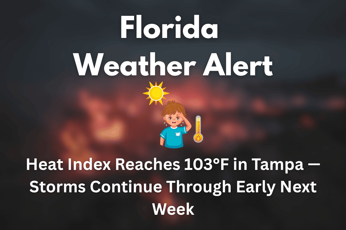
Tampa, Florida – A sizzling Saturday is in store for Tampa as heat and thunderstorms build throughout the day, bringing risks to outdoor activities and road travel. According to the National Weather Service, the heat index will climb to 103°F by midday, with scattered storms expected to hit after 11 a.m., particularly in Hillsborough and Pinellas counties.
Saturday: Intense Heat and Storms Ahead
Saturday’s high will reach around 93°F under mostly sunny skies, but the high humidity will make it feel much hotter, with the heat index pushing near 103°F. As the day progresses, storm chances increase, with rainfall and gusty winds likely to affect I-275 and surrounding areas between 11 a.m. and 6 p.m. The risk of sudden downpours and reduced visibility makes driving hazardous, so drivers should be prepared for wet roads and slow-moving traffic.
Storms will persist through the night and into Sunday morning, continuing a pattern of scattered storms in the region. Sunday’s high is expected to be around 94°F, and similar weather conditions are anticipated for the day, with the possibility of more afternoon storms.
Monday and Tuesday: More Storms and Tropical Conditions
The wet, tropical pattern continues into Monday, with isolated storms expected after 1 p.m. Highs will be slightly cooler, around 93°F. On Tuesday, the chance of scattered afternoon storms remains, with highs reaching 94°F. The humidity will keep conditions muggy, and rain chances will persist into midweek, maintaining the soggy conditions across the area.
Safety Tips for Tampa Residents
Given the high heat and storm risk, residents and visitors should avoid outdoor activities during the hottest part of the day, typically between noon and 6 p.m. Check weather apps for updates before making weekend plans. Drink plenty of water and take breaks in the shade to stay hydrated, especially during peak heat.
Five-Day Forecast for Tampa, FL (June 20–24)
Friday: Thunderstorms, high near 90°F, heat index up to 100°F
Saturday: Scattered storms after 11 a.m., high 93°F
Sunday: Showers and storms likely, high 94°F
Monday: Isolated storms after 1 p.m., high 93°F
Tuesday: Scattered PM storms, high 94°F
Tampa is in for a hot and stormy weekend, with a high heat index and scattered thunderstorms that will continue into early next week. Stay informed with weather updates, avoid midday outdoor activities, and take extra precautions to stay hydrated and cool. More storms and high humidity are expected throughout the week, with additional weather advisories possible if conditions worsen.


