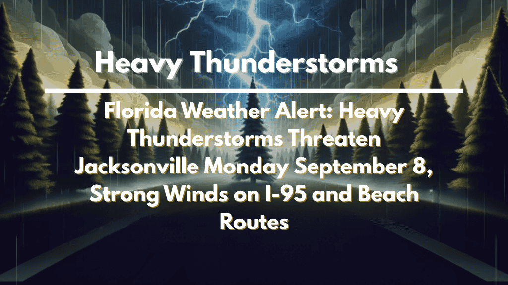
Jacksonville, Florida – Following a humid Sunday with scattered storms, Jacksonville faces a more severe weather forecast to begin the week. On Monday, September 8, strong thunderstorms are expected to bring heavy rain, gusty winds, and hazardous travel conditions to northeast Florida.
According to the National Weather Service, showers and thunderstorms are expected before 8 a.m. Monday, with another round in the afternoon and evening.
Some storms could become severe, with gusts approaching 40 mph and downpours obscuring visibility. There is an 80 percent chance of rain, with totals ranging from a half inch to an inch.
Drivers on I-95, I-10, and coastal routes should anticipate delays due to ponding water and low visibility.
Breezy northeast winds of 10 to 15 mph will complicate conditions for high-profile vehicles, particularly near the St. Johns River and bridges. The risk of heavy rain also increases the likelihood of localized flooding in low-lying areas.
The stormy pattern will not end on Monday. More showers and thunderstorms are expected Tuesday, with breezy conditions lasting through midweek. While no widespread severe weather is expected, repeated bouts of heavy rain may cause drainage problems and slow evening commutes.
Residents should secure any loose outdoor items, monitor National Weather Service updates, and avoid flooded roads. The unsettled stretch may last until late in the week, when drier conditions return.
Five Day Forecast for Jacksonville, FL
Monday: Showers and thunderstorms, breezy, high 84.
Tuesday: Showers and storms likely, high 80.
Wednesday: 50% chance of storms, high 83.
Thursday: Mostly sunny, 30% storm chance, high 84.
Friday: Mostly sunny, 30% storm chance, high 82.


