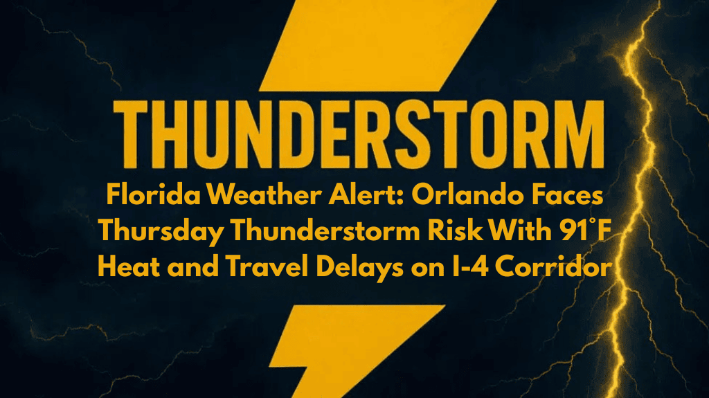
Orlando, Florida – As temperatures approach 91°F on Thursday, sweltering late-summer heat and storms may disrupt commutes and outdoor plans throughout Orlando. Drivers on I-4 should expect slick roads during afternoon showers, and outdoor events may be delayed due to lightning.
The National Weather Service predicts scattered storms after 1 p.m. Thursday, with gusty winds and frequent lightning possible.
A 50% chance of rain continues into the evening, keeping conditions unsettled for central Florida residents. Showers become more widespread on Friday, with storms possible through midday, particularly in Orange and Seminole counties.
The weekend remains hot, with highs in the low 90s and humidity raising heat indexes even higher. Storms are expected on Saturday, potentially disrupting youth sports, outdoor festivals, and tailgates.
Residents planning fall football gatherings should keep a backup plan under cover because lightning risks remain high.
Travelers should exercise caution on major corridors such as I-4, SR 408, and the Florida Turnpike, as wet pavement may cause delays.
The combination of heavy rain and reduced visibility may cause minor accidents and backups. Officials urge drivers to slow down and allow for extra travel time.
Storm chances persist into early next week, with Monday and Tuesday both having a chance of thunderstorms. Residents should keep their phones charged and weather alerts activated in the event of a rapidly developing severe storm.
Warnings are still possible through midweek as Florida moves deeper into September’s wetter fall pattern.
Five Day Forecast for Orlando, Florida:
Thursday: High 91, scattered storms after 1 p.m. Chance of rain 50%.
Friday: High 90, widespread showers and storms midday. Chance of rain 60%.
Saturday: High 92, 30% chance of afternoon storms.
Sunday: High 93, hot with isolated storms. Chance of rain 30%.
Monday: High 90, storms likely, especially afternoon. Chance of rain 60%.


