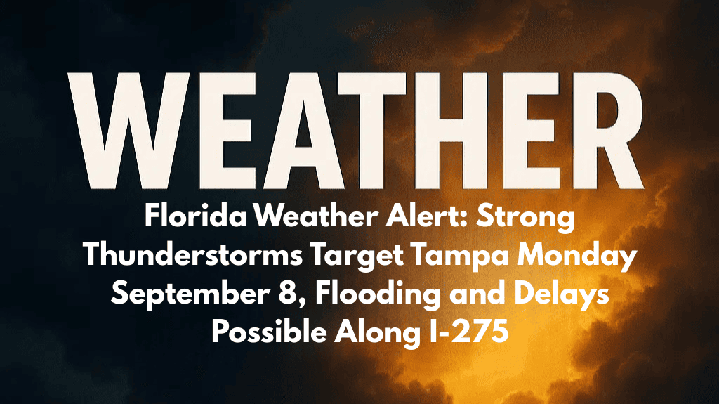
Tampa, Florida – Residents of Tampa Bay should prepare for more thunderstorms as the workweek begins, as Monday, September 8, could bring heavy rain and potentially fatal lightning. There are worries about flooding, heat stress, and travel disruptions as a daily storm pattern forms over central Florida.
The National Weather Service predicts that there is a 70% chance of thunderstorms on Monday, most likely in the afternoon and evening. Although humidity will cause heat index values to approach 100, highs will still reach 90. Conditions could be hazardous due to heavy rain and frequent lightning, especially for drivers during the afternoon rush on I-275, I-4, and the Howard Frankland Bridge.
With a 60–70% chance of thunderstorms every afternoon, storm chances are still high through the middle of the week. Low-lying neighborhoods may experience localized flooding as a result of these storms’ potential to recurrently affect the same areas. Beachgoers, boaters, and outdoor workers will continue to be at serious risk from lightning.
Showers will provide short-term respite from the heat, but the pattern will also maintain the region’s tropical humidity levels. Residents should limit their time outside during the hottest afternoon hours, stay alert to the weather, and stay off flooded roads. Authorities advise exercising caution when going outside, particularly during storms that occur late in the day.
Before any possible change to drier conditions, the unsteady weather is predicted to last until the end of the week.
Five Day Forecast for Tampa, FL
Monday: Thunderstorms likely, high 90, heat index near 100.
Tuesday: Thunderstorms likely, high 89.
Wednesday: Thunderstorms likely, high 89.
Thursday: Chance of thunderstorms, partly sunny, high 90.
Friday: Scattered thunderstorms, high 89.


