Orlando, Florida – Central Florida is facing a hot, stormy day on Tuesday, July 29th, with temperatures pushing toward 99°F and heat indices reaching 107°F. Thunderstorms are set to hit Orlando by mid-afternoon, creating dangerous conditions for drivers and outdoor activities.
Extreme Heat and Storm Risk in Orlando
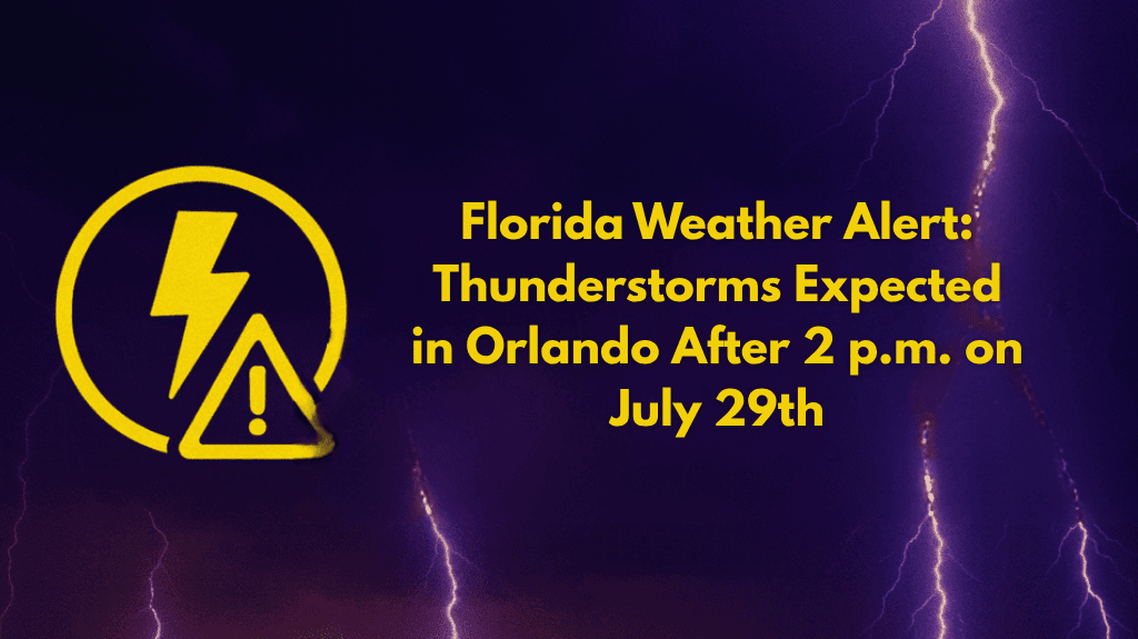
Orlando residents are advised to stay alert as the heat index could rise as high as 107°F on Tuesday afternoon. A 40% chance of thunderstorms will develop after 2 p.m., causing heavy rain, lightning, and poor visibility along roads like I-4. Expect slower traffic and delays as storms roll in.
Key Safety Tips for Orlando Residents
Stay Indoors: Limit outdoor activity during peak heat (2–6 p.m.) and during storms.
Stay Hydrated: Drink plenty of water to avoid heat exhaustion.
Avoid Travel: If possible, stay off the roads during storms, especially around I-4.
Watch for Storms: Storms will bring heavy rain and lightning, which could disrupt evening commutes.
Weather for the Week Ahead
Tuesday, July 29: High 99°F | Heat index up to 107°F | Thunderstorms after 2 p.m.
Wednesday, July 30: High 97°F | Scattered thunderstorms after 2 p.m.
Thursday, July 31: High 96°F | 50% chance of storms
Friday, August 1: High 96°F | Afternoon storms likely
Saturday, August 2: High 95°F | 70% chance of storms after 2 p.m.
Sunday, August 3: High 93°F | 60% chance of rain and thunderstorms
Expect the heat and storms to continue into the weekend. Stay tuned for more updates.


