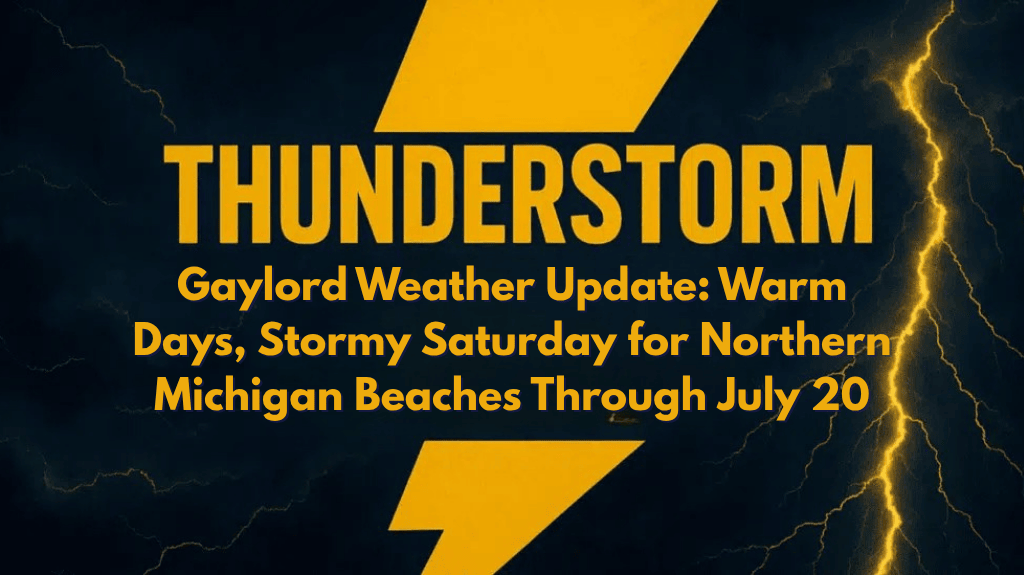
Gaylord, Mich. – Northern Michigan is in for cool nights and scattered storms this weekend, with Saturday being the most active day for showers and possible thunderstorms.
What to Expect:
Friday and Sunday will see dry and mostly sunny conditions, with temperatures ranging from 72°F to 82°F. Cooler nights are expected, with overnight lows dipping into the low 50s in inland areas.
Saturday will bring the highest chance of showers, with scattered storms across the region. Expect brief heavy downpours and possible thunderstorms, especially in the afternoon and evening.
Beach Conditions:
Along Lake Huron and Lake Michigan beaches, swim risk remains low throughout the weekend, with waves staying under 2 feet. However, conditions may change rapidly on Saturday during storm activity, so beachgoers should stay alert.
Travel and Outdoor Activity:
Travel on US-131 and M-32 could be impacted by storms on Saturday, especially during peak hours. Campers and boaters should be prepared for lightning and heavy rain inland and along lakeshores, particularly from Petoskey to Alpena.
Sunday Outlook:
The weekend will end with drier and cooler air on Sunday, offering more favorable weather for outdoor plans.
Key Reminders:
Keep an eye on local forecasts, as more updates may be issued if storm timing shifts or rainfall totals increase.
Stay weather-aware and take necessary precautions for possible thunderstorms and sudden weather changes.
Enjoy the weekend, but stay prepared for potential storms, especially on Saturday!


