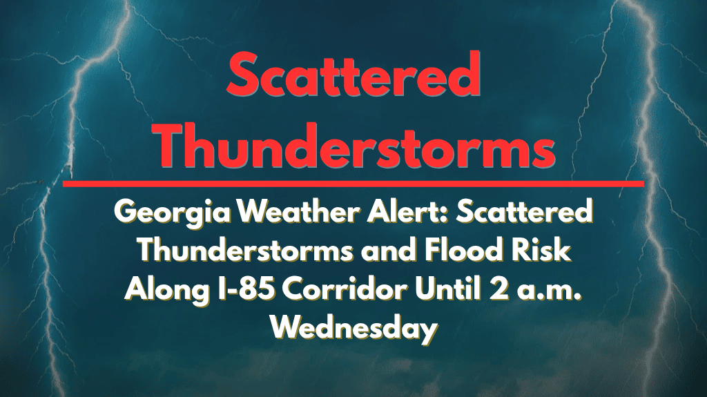
Atlanta, Georgia – Scattered thunderstorms are expected to move across north and central Georgia this evening, with the highest risk along the I-85 corridor. Commuters and residents from Atlanta to Gainesville should prepare for sudden downpours, gusty winds, and frequent lightning as storms build from 3 p.m. today until 2 a.m. Wednesday.
According to the National Weather Service in Peachtree City, the strongest storms may bring wind gusts up to 50 mph, along with intense lightning, which could lead to downed trees and power outages. Locally heavy rainfall is also expected, which could cause flash flooding, especially in urban areas and neighborhoods with poor drainage.
Areas at Highest Risk
Communities in and around Atlanta, Athens, and Lawrenceville are at the greatest risk, and drivers on I-85, I-20, and other major surface roads could encounter ponding or brief road closures if the storms stall.
Emergency managers are advising residents to avoid non-essential travel during peak storm hours, ensure their cell phones are charged, and stay alert for rapidly changing weather conditions.
For safety, stay indoors when thunder roars, secure outdoor objects, and never drive through flooded roads. Last month, similar storms led to isolated flooding, which stranded cars in Decatur and Norcross.
Storm Timing and Additional Warnings
The storms are expected to taper off by early Wednesday, but additional watches or warnings could be issued if slow-moving storms persist overnight.


