Grand Forks, North Dakota – Scattered to numerous severe thunderstorms are expected to sweep across eastern North Dakota on Friday afternoon, bringing tornadoes, large hail, and damaging winds. The storm threat extends through the overnight hours, with Valley City to Grand Forks facing the highest local risk. Emergency agencies urge residents to prepare for rapid changes in weather and stay weather-aware.
According to the National Weather Service in Grand Forks, storms are expected to develop Friday afternoon, potentially bringing hail up to golf ball size, wind gusts topping 75 mph, and isolated tornadoes. The greatest risk is for communities along the Red River Valley, including Grand Forks, Fargo, and Devils Lake.
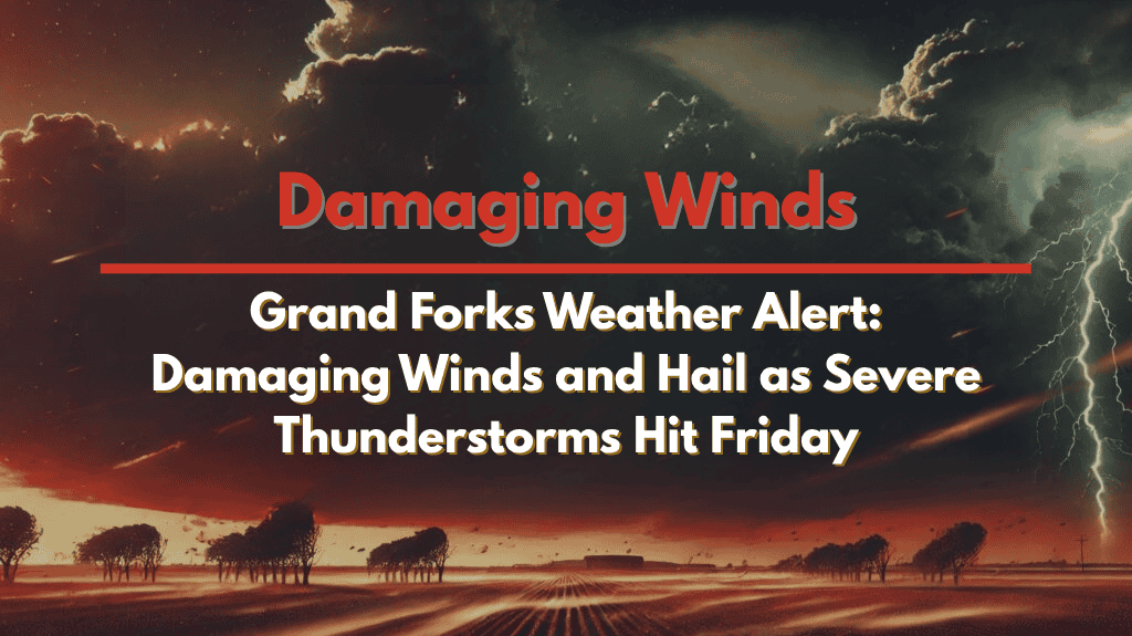
🌪️ What to Expect: Hail, High Winds, and Tornado Risk
The storm threat will be high through Friday night, meaning power outages, tree damage, and road hazards are likely in Grand Forks, Fargo, Devils Lake, and other surrounding communities. Key weather threats include:
Hail up to golf ball size, which could cause damage to vehicles, roofs, and crops.
Wind gusts as strong as 75 mph, which could bring down trees and power lines.
Isolated tornadoes, especially in the Red River Valley.
🚗 Travel Safety and Preparedness
Residents should be prepared for rapidly changing weather conditions. Avoid unnecessary travel once storms develop, as high winds and hail could cause road hazards. If you must travel, reduce speed and watch for ponding water or debris on the roads.
Preparedness Tips:
Keep multiple ways to receive weather alerts, such as weather radios and smartphone notifications.
Secure outdoor items and move vehicles to shelter ahead of the storm to prevent damage.
Review your severe weather plan—know where to go if a tornado warning is issued.
🌧️ Timing and Outlook
Severe weather is expected to begin Friday afternoon and could last into Friday night. As the storm system moves through, the threat will remain high, especially in eastern North Dakota. Severe weather alerts may be updated as the forecast becomes clearer.
🌡️ Five-Day Forecast for Grand Forks, ND
Thursday, August 10:
Partly cloudy, high 83°F / low 63°F
Light winds and mild temperatures
Friday, August 11:
Severe thunderstorms likely, with a high of 85°F
Wind gusts up to 75 mph, hail possible, and tornado risk
Saturday, August 12:
Partly sunny, high 80°F / low 62°F
Storms taper off early, cooler conditions
Sunday, August 13:
Mostly sunny, high 83°F / low 64°F
Dry, warm day
Monday, August 14:
Mostly sunny, high 85°F / low 66°F
Continued warm temperature


