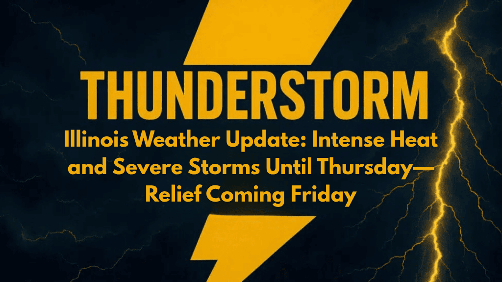
Central Illinois is under a weather watch as dangerous heat and strong storms continue through late Thursday. Cities including Springfield, Decatur, Champaign, Peoria, and Bloomington are experiencing high humidity, rising heat index values, and repeated rounds of afternoon and evening thunderstorms. If you’re in the region, it’s important to stay weather-aware and take steps to protect yourself from both heat-related illness and storm hazards.
🌡️ Heat Index Reaches Dangerous Levels
For much of this week, heat index values between 100°F and 105°F are expected, especially during the afternoon hours. This means it feels much hotter than the actual temperature due to humidity. The most intense heat will be felt south of Interstate 70, including parts of central Illinois.
Outdoor workers, kids at play, and anyone with health conditions should take this heat seriously. The National Weather Service recommends limiting time outside, drinking lots of water, and staying in air-conditioned places during the peak heat of the day.
⛈️ Storms Continue Through Thursday
Along with the heat, scattered thunderstorms will develop each afternoon and evening until Thursday night. Some of these storms may become strong or severe, bringing damaging wind gusts, brief flooding, and power outages. The strongest storm chances (50–70%) are expected Wednesday, especially in areas near and south of I-70.
If you’re traveling on highways or rural roads, be cautious of flooded lanes, fallen limbs, and low visibility during a downpour. Drivers are urged to check the latest radar updates before heading out, especially during the late afternoon and early evening hours.
⚠️ Warnings in Effect Through Thursday Night
The National Weather Service has warned that advisories, watches, or warnings may be updated throughout the week. Weather conditions can change quickly, so make sure you have emergency alerts turned on in your phone settings or weather app.
Keep in mind that even isolated storms can be dangerous. Lightning, strong winds, and heavy rain can all develop suddenly with little warning.
🌤️ Cooler, Drier Air Moves in Friday
Relief is on the way! By late Thursday into Friday morning, the storms will move out, and a cooler air mass will move in. Friday and Saturday will feel much more comfortable, with highs only in the upper 70s to low 80s, and lower humidity across the region.
This break in the weather will make it easier for outdoor events, travel, and even simple activities like walking or yard work. It’s a good time to catch up on any postponed plans or enjoy the outdoors without worrying about heat exhaustion or pop-up storms.
☀️ Five-Day Weather Forecast for Central Illinois
| Day | Weather | High Temperature | Low Temperature | Chance of Storms/Precipitation |
|---|---|---|---|---|
| Tuesday | Scattered storms | 90–95°F | 70–75°F | 30–40% |
| Wednesday | Showers/storms likely, strongest south of I-70 | 80–90°F | 65–75°F | 50–70% |
| Thursday | Storms taper off by evening | 75–85°F | 55–65°F | 30–50% |
| Friday | Pleasant and less humid | 75–80°F | 55–60°F | None |
| Saturday | Mostly sunny and dry | 75–80°F | 55–60°F | None |
📝 Final Thoughts
Central Illinois is going through a rough patch of heat and stormy weather, but relief is just around the corner. Until then, take the heat seriously, be cautious on the roads, and don’t ignore weather alerts. With a cool and dry weekend ahead, patience and preparation now will pay off soon. Keep cool, stay safe, and get ready to enjoy better weather by Friday.


