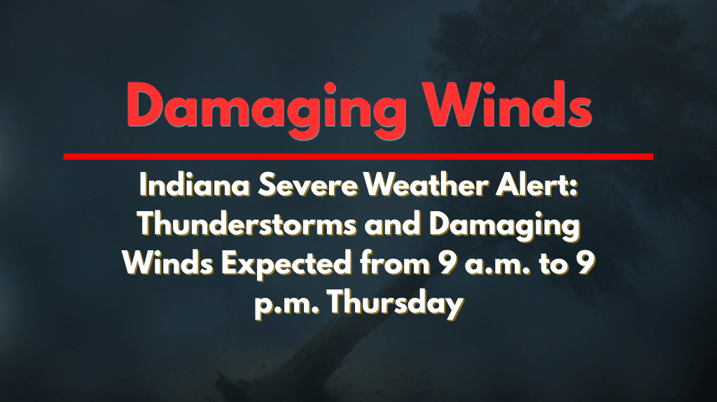
Indianapolis, Ind. – Multiple rounds of thunderstorms are expected to hit Indiana today, with damaging winds and localized flooding being the biggest threats. The storms are expected to roll through from 9 a.m. to 9 p.m., with the highest risks centered south of I-70.
Storm Timing and Threats
According to the National Weather Service in Indianapolis, the first round of storms will occur between 9 a.m. and 1 p.m., followed by a second round from 5 p.m. to 9 p.m. The severe risk will affect areas like Bloomington, Seymour, and Columbus, where isolated damaging wind gusts and heavy rain are possible. This could lead to minor flooding in areas with poor drainage.
Potential Impact on Travel
Drivers, especially along I-65 and I-74, should be prepared for reduced visibility and ponding on the roads due to heavy rain. Wind gusts could cause downed trees and power lines, particularly in southern Indiana near Vincennes, Jasper, and Greensburg.
This may lead to brief power outages in some areas. Additionally, rainfall could cause localized flooding, especially in low-lying areas and urban areas with inadequate drainage systems.
Safety Tips for Residents
Officials urge residents to:
Secure outdoor items to prevent them from being blown away by strong winds.
Monitor weather alerts frequently, as conditions can change quickly.
Avoid flooded roads: Follow the advice to “Turn Around, Don’t Drown” as conditions could worsen rapidly, particularly during the evening commute.
Outlook for the Rest of the Day
Storm activity is expected to decrease tonight, but additional alerts may be issued if evening storms intensify. Keep an eye on the weather as conditions may evolve.
Residents of southern Indiana, including cities like Bloomington, Seymour, and Columbus, should prepare for damaging winds, heavy rainfall, and the potential for localized flooding today. Be cautious on the roads, especially during the morning and evening commutes, and stay updated on weather conditions.


