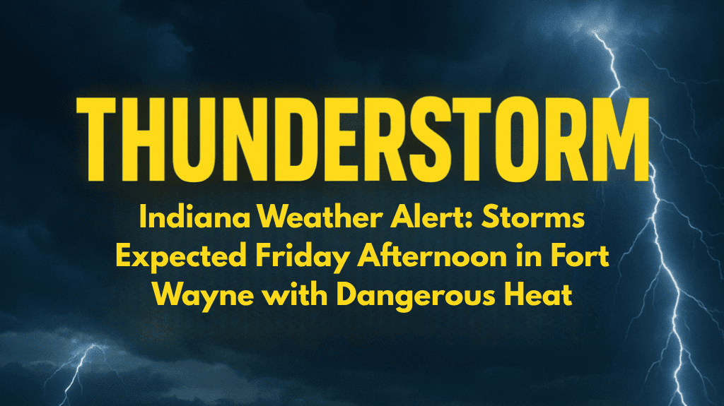
Fort Wayne, Indiana, is gearing up for a potentially stormy Friday afternoon, as scattered thunderstorms are expected to develop after 2 p.m., bringing both rain and dangerously high heat. With a 30% chance of showers and storms, residents and travelers should be prepared for changing weather conditions, especially as traffic increases during the afternoon.
Thunderstorms and Heat on Friday
The National Weather Service in Northern Indiana warns of thunderstorms developing after 2 p.m. on Friday, with temperatures climbing to a high of 91°F. However, the heat will feel even more intense due to the heat index, which could reach as high as 97°F.
Winds will shift southwest at 5 mph, potentially feeding storm development. Those traveling on major highways like I-69, US-30, and IN-3 should expect reduced visibility and wet roads, especially as storms bring bursts of rain and make the pavement slick.
Residents are urged to stay indoors or limit outdoor activities during peak heat hours, as the combination of heat and humidity can pose serious health risks, including heat exhaustion.
Saturday: More Storms and Muggy Conditions
The stormy pattern will continue on Saturday with a 50% chance of afternoon storms. The high temperature will reach 92°F, with muggy conditions and brief downpours expected across Fort Wayne, Auburn, and Columbia City. Winds may be gusty, and brief lightning could accompany the storms, especially into the evening. These conditions will create a risk for outdoor activities, so it’s important to stay weather-aware throughout the day.
Sunday: Scattered Storms and Slight Cool Down
Sunday will bring more scattered thunderstorms, primarily after 8 a.m. Temperatures will dip slightly, reaching a high of 85°F. However, clouds and humidity will make the air feel sticky and uncomfortable. Rain chances will linger into the night, with a chance of showers before midnight. The unsettled weather will continue to create a humid and muggy atmosphere for the region.
Monday: A Break in the Weather
By Monday, the weather will clear up, offering a break from the storms and humidity. Skies will be sunny, and temperatures will reach a pleasant 87°F, with dry conditions expected. This will be a perfect opportunity to get outdoors, as the heat and humidity will ease. Temperatures will remain in the upper 80s through Tuesday, with mostly sunny skies, though there will be a slight 20% chance of rain midweek.
Five-Day Weather Forecast for Fort Wayne (July 11–15)
Friday: High 91°F – Chance of thunderstorms after 2 p.m., heat index near 97°F.
Saturday: High 92°F – 50% chance of storms in the afternoon and evening.
Sunday: High 85°F – Scattered thunderstorms, mainly after 8 a.m.
Monday: High 87°F – Sunny and dry.
Tuesday: High 89°F – Mostly sunny with a slight rain chance (20%).
Fort Wayne will experience a mix of storms and intense heat starting Friday afternoon, with a heat index climbing to 97°F. Storms will continue through the weekend, particularly on Saturday and Sunday, with heavy rain, gusty winds, and lightning possible.
Monday will offer relief with sunny and dry conditions, providing a break from the stormy weather. Residents are urged to stay weather-aware and avoid outdoor activities during peak heat to stay safe.


