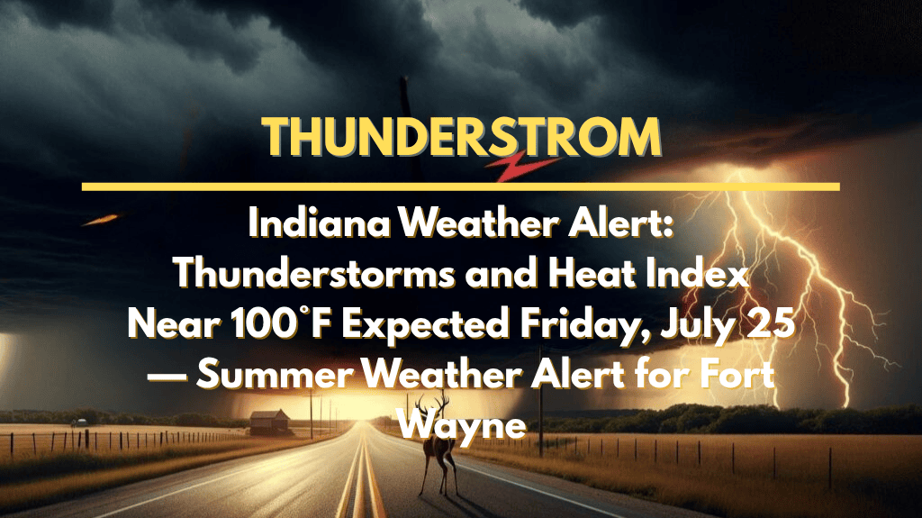
Fort Wayne, Indiana – Thunderstorms and a sweltering heat index near 100°F are set to hit Fort Wayne on Friday, July 25, triggering a summer weather alert across northeastern Indiana. The combination of severe weather and extreme heat will impact residents, making safety precautions crucial.
What to Expect on Friday, July 25
According to the National Weather Service, showers and thunderstorms will begin as early as 11 a.m. and will intensify through the afternoon. Stronger storms are expected after 2 p.m., bringing:
Heavy rainfall
Gusty winds
Localized flooding, particularly along U.S. Route 30 and other flood-prone roads.
In addition, heat index values could reach the upper 90s before the storms bring some temporary relief. Residents are advised to limit non-essential outdoor activity and be cautious while driving, especially on roads that may be prone to flooding.
Evening and Weekend Forecast
Friday Night: Thunderstorms will likely continue through the night, with lows near 73°F.
Saturday, July 26: A similar weather pattern will unfold, with temperatures building through the morning and storms developing after 2 p.m.. The chance of precipitation remains above 60% into Saturday night, continuing the risk for urban flooding and power outages.
Looking Ahead – Five-Day Forecast for Fort Wayne
Friday, July 25: High of 87°F, with showers and thunderstorms likely after 11 a.m. Expect heavy rain and gusty winds through the afternoon.
Saturday, July 26: High of 90°F, with storms expected after 2 p.m., potentially heavy at times.
Sunday, July 27: High of 89°F, partly sunny with scattered afternoon showers.
Monday, July 28: High of 94°F, hot and humid with evening thunderstorms possible.
Tuesday, July 29: High of 93°F, with isolated storms and partly cloudy skies by late afternoon.
Safety Tips and Preparedness
Limit outdoor activities during the hottest part of the day to avoid heat exhaustion or heatstroke.
Hydrate frequently and ensure those who are vulnerable, such as the elderly, are staying cool.
Stay alert for weather warnings as conditions can change rapidly with the development of storms.
Charge your mobile devices in case of power outages.
Be cautious on the road as localized flooding may occur, particularly in low-lying areas or near waterways.
Fort Wayne and surrounding areas are in for a volatile Friday with high heat and thunderstorms expected. Localized flooding, gusty winds, and heavy rain could disrupt travel, outdoor activities, and utilities, so stay informed, limit time outside, and take necessary precautions. Keep an eye on the weather updates as the weekend storm chances continue.


