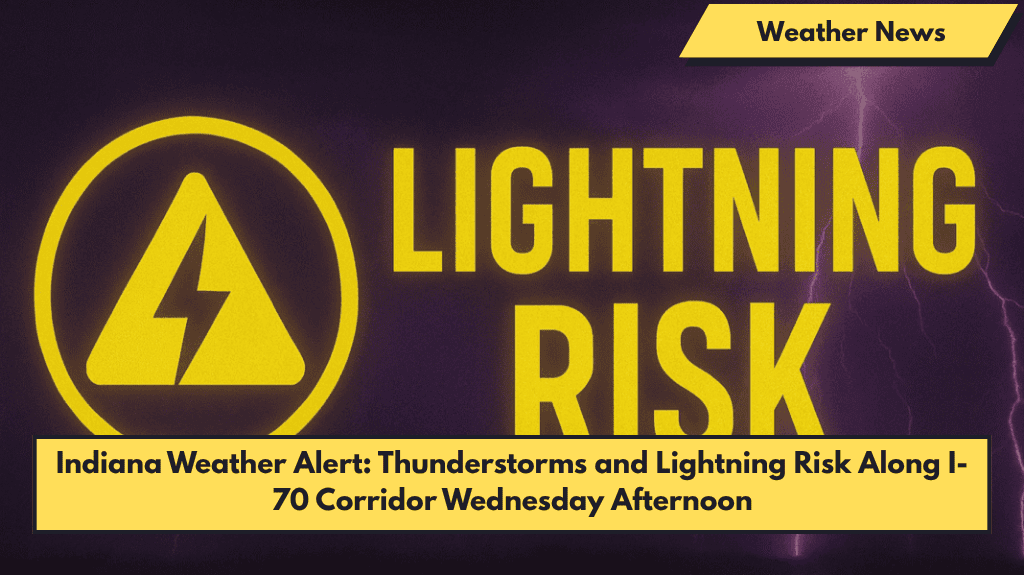
Indianapolis, Indiana — Thunderstorms with heavy rain, lightning, and gusty winds are expected to impact parts of Marion County and areas along the I-70 corridor starting Wednesday afternoon.
What to Expect
The National Weather Service in Indianapolis reports a 70% chance of showers and thunderstorms developing after 2 p.m. Wednesday. Storms are likely to strengthen through the evening.
- Winds could reach up to 25 mph, causing hazardous travel conditions along major highways like I-65 and I-70, especially during rush hour.
- Rainfall may total up to half an inch through Wednesday night, mainly in the Indianapolis metro area and nearby suburbs.
Travel and Safety Tips
- Motorists should avoid flooded roads and stay updated on weather alerts for lightning and possible power outages.
- Cities such as Carmel, Greenwood, and Plainfield may face traffic delays, water accumulation, and thunderstorm warnings.
- Residents are advised to secure outdoor items, charge phones and devices, and limit travel between 2 p.m. and 9 p.m. Wednesday.
Continuing Weather Pattern
- The stormy pattern continues on Thursday, with more rain and storms expected from late morning into the evening.
- Friday holds another chance of storms before a cooler and drier weekend arrives.
Five-Day Forecast for Central Indiana (June 3–7)
| Day | Weather Description | High Temp |
|---|---|---|
| Tuesday | Mostly sunny | 89°F |
| Wednesday | 70% chance of thunderstorms after 2 p.m. | 88°F |
| Thursday | Showers and storms likely, late morning to evening | 81°F |
| Friday | Possible storms afternoon/evening | 80°F |
| Saturday | Mostly sunny and cooler | 77°F |


