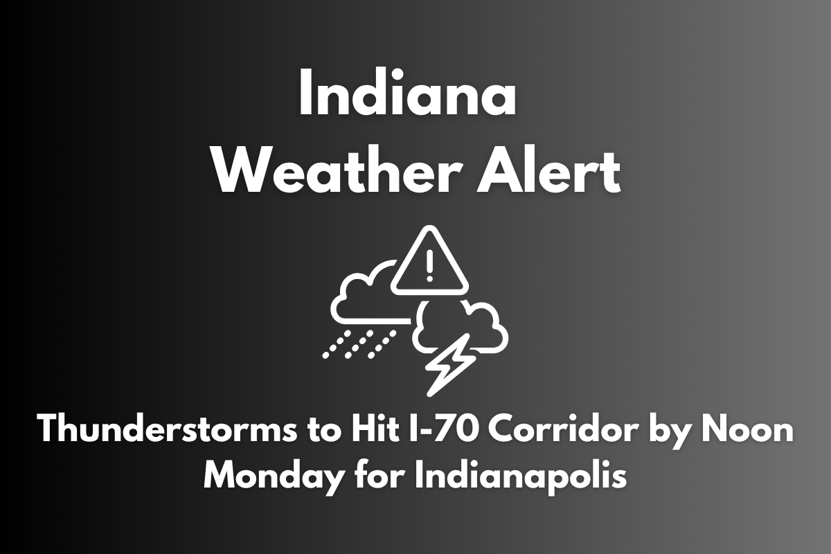
Indianapolis, Indiana – Drivers in central Indiana should prepare for downpours and dangerous lightning Monday afternoon as scattered thunderstorms are expected to target the region, starting around 2 p.m. The National Weather Service in Indianapolis has issued an alert for the southern half of central Indiana, including Marion, Johnson, Bartholomew, and Shelby counties.
What to Expect on Monday
The strongest storms are expected to develop between 2 p.m. and 6 p.m., bringing isolated wind gusts, intense lightning, and localized flooding, particularly near major corridors like I-70 and I-65. While widespread severe weather is not expected, these storms could still lead to dangerous conditions, including flash flooding in low-lying areas and near urban drainage systems.
Evening Weather
The storms may linger into the early evening hours before gradually tapering off. Monday night is forecast to remain mostly cloudy, with scattered showers still possible through 9 p.m. Residents are advised to secure outdoor items that could be blown away by gusty winds and to avoid flooded roads.
What’s Ahead
The rest of the week will bring drier, sunnier conditions, with a classic July warm-up building ahead of Independence Day. After a brief chance of rain on Tuesday morning, skies will clear, and temperatures will rise toward the upper 80s by Wednesday.
5-Day Forecast: Indianapolis, IN (Starting Monday, June 30)
| Day | Weather | High Temperature | Additional Information |
|---|---|---|---|
| Monday | Showers and storms after 2 p.m. | 86°F | Breezy south winds at 5–10 mph |
| Tuesday | Slight chance of rain before 8 a.m., then sunny | 85°F | – |
| Wednesday | Sunny and calm | 88°F | – |
| Thursday | Hot and sunny | 88°F | – |
| Friday | Mostly sunny, 20% chance of afternoon storms | 89°F | – |
Monday will bring scattered thunderstorms to central Indiana, with the greatest risk between 2 p.m. and 6 p.m. in areas like Indianapolis, Muncie, and Bloomington. Strong winds, intense lightning, and localized flooding are possible, especially near the I-70 and I-65 corridors. Be cautious on the roads and secure outdoor items. The rest of the week will see a transition to drier and warmer conditions leading up to the Fourth of July.


