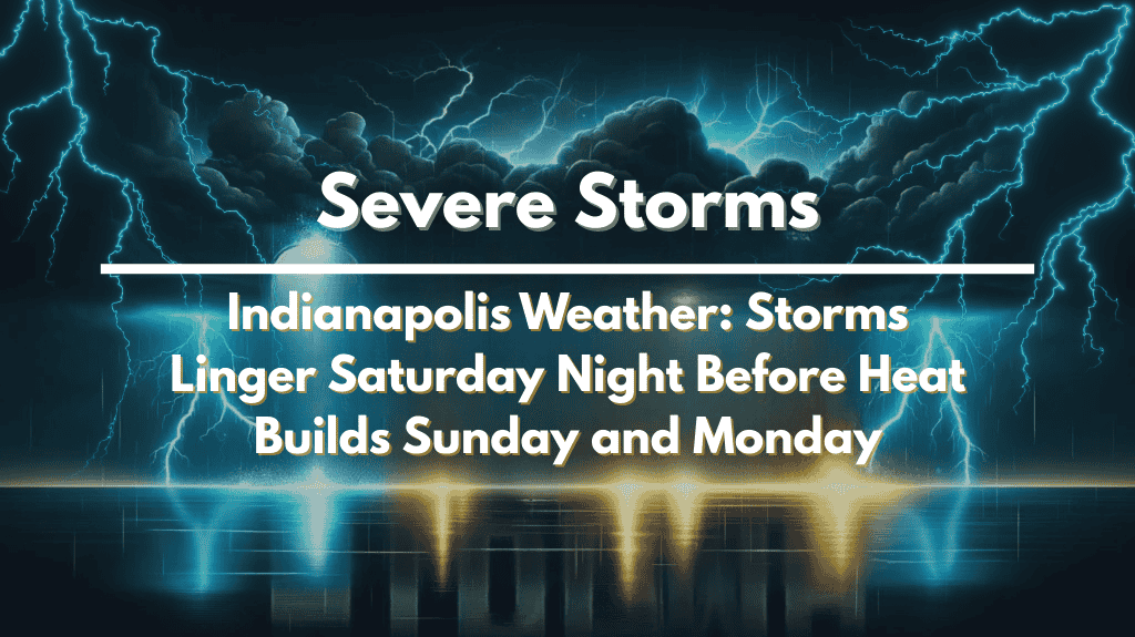
Indianapolis, Indiana – Scattered thunderstorms will pass through central Indiana Saturday evening, bringing brief downpours and gusty winds before dissipating overnight.
The National Weather Service warns that another round of isolated storms may return Sunday, accompanied by rising temperatures and sticky humidity.
According to the National Weather Service in Indianapolis, storms tonight may cause reduced visibility and wet roads, particularly along the I-65 and I-70 corridors. Lows will remain in the lower to mid-70s, making conditions muggy overnight.
On Sunday, high temperatures in much of Indiana will range from 85 to 91 degrees, with humidity making it feel even hotter. While storms are expected to be more dispersed, the most powerful cells may still produce lightning and brief heavy rain.
Outdoor plans, particularly in Marion, Hamilton, and Hendricks counties, must be closely monitored for changing conditions.
By Monday, the storm threat has diminished, but the heat has increased. Sunshine will return, pushing highs into the low- to mid-90s, with heat index values approaching 100.
Residents are encouraged to stay hydrated, avoid strenuous outdoor activity during peak afternoon hours, and check on vulnerable neighbors who do not have air conditioning.
Storm chances decrease Sunday night, but hot and humid weather will dominate much of next week, with more heat advisories possible.


