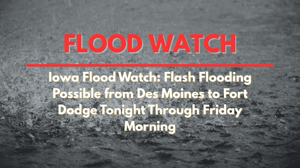
Iowa is under a Flood Watch tonight, as heavy rainfall threatens flash flooding across much of central and west-central Iowa. The threat will last from 7 p.m. Thursday through Friday morning, with rivers, creeks, and drainage systems at risk of overflowing.
What to Expect from the Storms
The National Weather Service in Des Moines has issued the Flood Watch for 18 counties, including Polk, Dallas, Webster, Boone, and Madison. Intense rainfall could cause runoff, pushing small rivers and low-lying areas beyond their banks. The risk of flash flooding is high, particularly in areas already saturated from previous storms.
Areas at Risk for Flash Flooding
Communities in Des Moines, Fort Dodge, Ames, Carroll, and Atlantic should monitor conditions closely, as flash flooding is possible in both urban and rural areas. Streets in cities could flood quickly, while rural roads and low crossings might become impassable. The heavy rain will likely worsen the flooding risk overnight, especially in flood-prone zones.
Safety Tips for Flash Flooding
Residents are advised to avoid traveling in areas at risk for flooding. It is crucial to secure outdoor items that could be swept away by rising water. The National Weather Service’s reminder is simple: turn around, don’t drown – never attempt to cross a flooded road. Flooding can occur rapidly, and roads may be more dangerous than they appear.
Storm Timing and Duration
The Flood Watch will remain in effect until 7 a.m. Friday. If rainfall intensifies overnight, additional warnings or advisories could be issued. Residents should stay informed and be prepared for potential changes in the weather.


