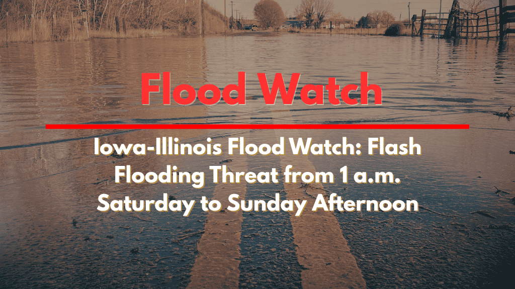
A Flood Watch has been issued for eastern Iowa and western Illinois, with the National Weather Service warning of possible flash flooding starting at 1 a.m. on Saturday and lasting through Sunday afternoon. Multiple rounds of thunderstorms are expected to impact cities like Cedar Rapids, Davenport, Rock Island, and Burlington, which are at high risk for sudden flooding.
Flash Flood Risk in Eastern Iowa and Western Illinois
Heavy rain from last week has left the soil in the area saturated, increasing the risk of flash flooding. According to the National Weather Service, areas with poor drainage or near rivers and creeks are especially vulnerable. Cities such as Iowa City, Muscatine, Macomb, and Moline should closely monitor conditions, as they may experience rapid flooding, particularly in low-lying areas.
Impact on Transportation and Local Infrastructure
Key highways, including I-74, I-80, and US-61, could face closures or hazardous conditions if water levels rise overnight. Flooding may happen quickly and unexpectedly, making travel dangerous. Local authorities are urging residents to stay alert and prepared to act swiftly if conditions worsen.
How to Stay Safe During the Flood Watch
Residents in flood-prone areas are advised to have a plan in place to move to higher ground. It’s important to charge phones and other devices and to avoid driving through flooded roads. Flash flooding can happen very quickly, so staying informed about any new warnings or advisories is crucial.
With the Flood Watch in effect until at least Sunday afternoon, those living in the affected areas should take every precaution to stay safe.
Residents across eastern Iowa and western Illinois should be aware of the risk of flash flooding due to incoming thunderstorms. By staying informed and having an emergency plan, people can reduce the dangers posed by sudden flooding.


