Davenport, Iowa – A warm, humid night is expected for the Quad Cities region, with temperatures remaining between 67°F and 72°F, and clouds gradually decreasing by late evening. Residents and drivers across eastern Iowa and northwest Illinois should stay alert for isolated showers or storms, mainly southeast of the metro area.
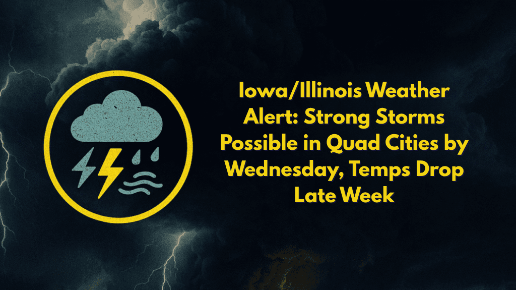
According to the National Weather Service Quad Cities office, the risk for severe weather increases significantly on Wednesday, with strong to severe thunderstorms expected through the afternoon and evening.
Highs will range from 83°F to 90°F, followed by a sharp cool-down on Thursday. Gusty winds, heavy rainfall, and localized flooding could impact roadways, especially in low-lying areas and along the Mississippi River corridor.
Areas Affected and Safety Tips
Emergency managers are urging residents in Rock Island, Davenport, Moline, and Muscatine to review their severe weather plans and avoid outdoor activities during active warnings. Utilities may experience brief outages due to strong winds or lightning. Those with outdoor plans should keep cell phones charged and stay attentive to weather alerts.
For those traveling, be sure to check for road closures or hazardous driving conditions, especially along I-74, US-61, and local rural roads.
Weather Outlook and Cool-Down
The severe weather threat will decrease by Thursday, with temperatures dropping into the 70s and drier air moving in. More updates will follow as Wednesday’s storms develop, and additional advisories may be issued throughout the week.


