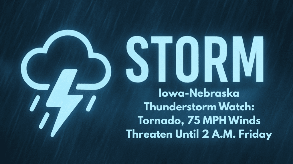
A severe weather threat is unfolding across southwest Iowa and southeast Nebraska tonight as powerful storms move through the region. These storms could bring damaging winds, large hail, and the risk of isolated tornadoes, leading to a Severe Thunderstorm Watch in effect until 2 a.m. Friday.
Key Details About the Storms
The National Weather Service’s Omaha/Valley office has issued this new alert, which replaces the previous Tornado Watch for areas including Omaha, Lincoln, and parts of western Iowa.
The storms are expected to bring gusty winds up to 75 mph, along with hail that could reach up to 2 inches in diameter. The I-80 and I-29 corridors are expected to be particularly vulnerable to these severe conditions.
Areas At Risk and Potential Impacts
Communities such as Des Moines, Atlantic, Shenandoah, and Creston should be prepared for fast-moving storms that could cause damage, including fallen trees and power lines. With more than 2.3 million people potentially affected, it’s crucial for residents to take safety precautions, such as securing outdoor items, staying indoors during warnings, and charging devices in case of power outages.
Storm Timing and Duration
Storms are expected to move out of southeast Nebraska, including Lincoln and Beatrice, by midnight. However, areas in south-central Iowa, such as Ames and Indianola, may experience strong storm activity into the early morning hours. The Severe Thunderstorm Watch remains in effect until 2 a.m., and additional warnings may be issued if storms redevelop during the night.
Safety Tips for Tonight’s Storms
Residents are urged to stay weather-aware and monitor alerts overnight. If a tornado warning is issued, take immediate action and head to a basement or an interior room on the lowest floor, away from windows.
Be prepared for potential power outages and always keep your phone charged. Avoid traveling during the storm, as roads may be hazardous due to fallen trees, power lines, and debris.


