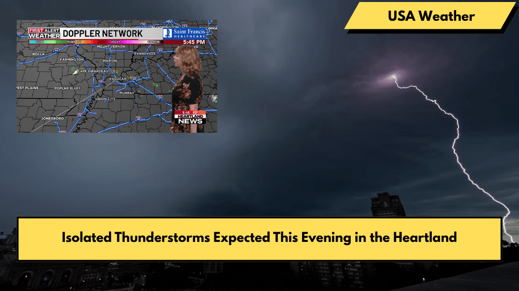
Good evening, Heartland! Tonight, we are watching for the chance of isolated thunderstorms in the area. These storms are not expected to cover much ground, so most places will stay dry. However, if a storm does form, it might bring strong, gusty winds and small hail, so keep an eye on the sky just in case.
Evening and Overnight Weather
This evening, skies will be partly cloudy with some spots clearing out as the night goes on. After sunset, temperatures will slowly drop to the upper 70s. Early tomorrow morning, expect temperatures in the low 60s along with partly cloudy skies.
Warm Temperatures Continue Into the Work Week
Tomorrow afternoon, temperatures will rise to slightly above average, reaching the upper 80s. Some places could even hit the low 90s. This warming trend will carry into Tuesday as well.
Storm Chances Increase Midweek
Starting Wednesday, the weather changes as we begin to track multiple weather disturbances. These will bring daily chances of thunderstorms across the region. Along with this, temperatures will cool back down to the low 80s and stay there through the weekend.
Summary
In short, tonight’s isolated thunderstorms will be scattered, mostly keeping the Heartland dry. The next few days will warm up with temperatures in the upper 80s and low 90s, before thunderstorms become more likely midweek. From Wednesday onward, expect cooler weather and frequent storm chances through the rest of the week and weekend.


