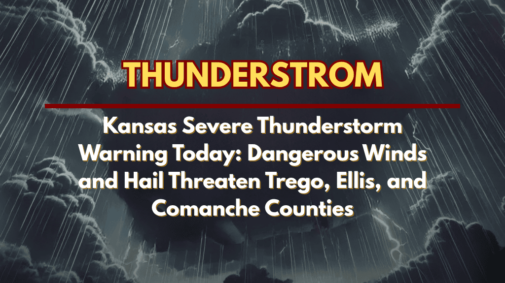
Dodge City, KS – Severe thunderstorms are moving across west and central Kansas this evening, prompting urgent warnings for residents in Trego, Ellis, and Comanche counties.
Current Warnings:
Trego and Ellis Counties: A severe thunderstorm was detected near Ogallah, tracking northeast at 10 mph. The storm is producing wind gusts up to 60 mph and quarter-size hail, threatening to cause damage to vehicles, roofs, siding, and trees. This warning is active for northeastern Trego County and northwestern Ellis County until 8:30 p.m..
Comanche County: A separate severe thunderstorm is affecting the county until 8 p.m. The storm is moving east at 15 mph, impacting areas from Cullison to eight miles southeast of Buttermilk. Wind gusts up to 60 mph are possible, with hail reaching up to three-quarters of an inch. Coldwater, Wilmore, and Buttermilk are at risk.
Hazardous Conditions:
Damaging Winds: Gusts up to 60 mph could cause damage to trees, power lines, and property.
Hail: Quarter-size hail in Trego and Ellis counties, and up to three-quarters of an inch in Comanche County, could damage vehicles and roofs.
Heavy Rain: Torrential rainfall may lead to flash flooding, particularly on roadways.
Travel Hazards: Flooded roads may make travel dangerous, especially in low-lying areas.
Safety Tips:
Seek Shelter: Move to an interior room on the lowest floor of a sturdy building. Avoid windows and stay away from exterior walls.
Avoid Driving: Do not attempt to drive through flooded roadways. Conditions can change rapidly, and the risk of flash flooding is significant.
Secure Property: Secure any outdoor items that could be damaged by strong winds or hail.
Conclusion:
The severe thunderstorms will continue to pose risks to property and personal safety, particularly with damaging winds, hail, and flash flooding. Stay alert for further warnings and updates from the National Weather Service as conditions develop.


