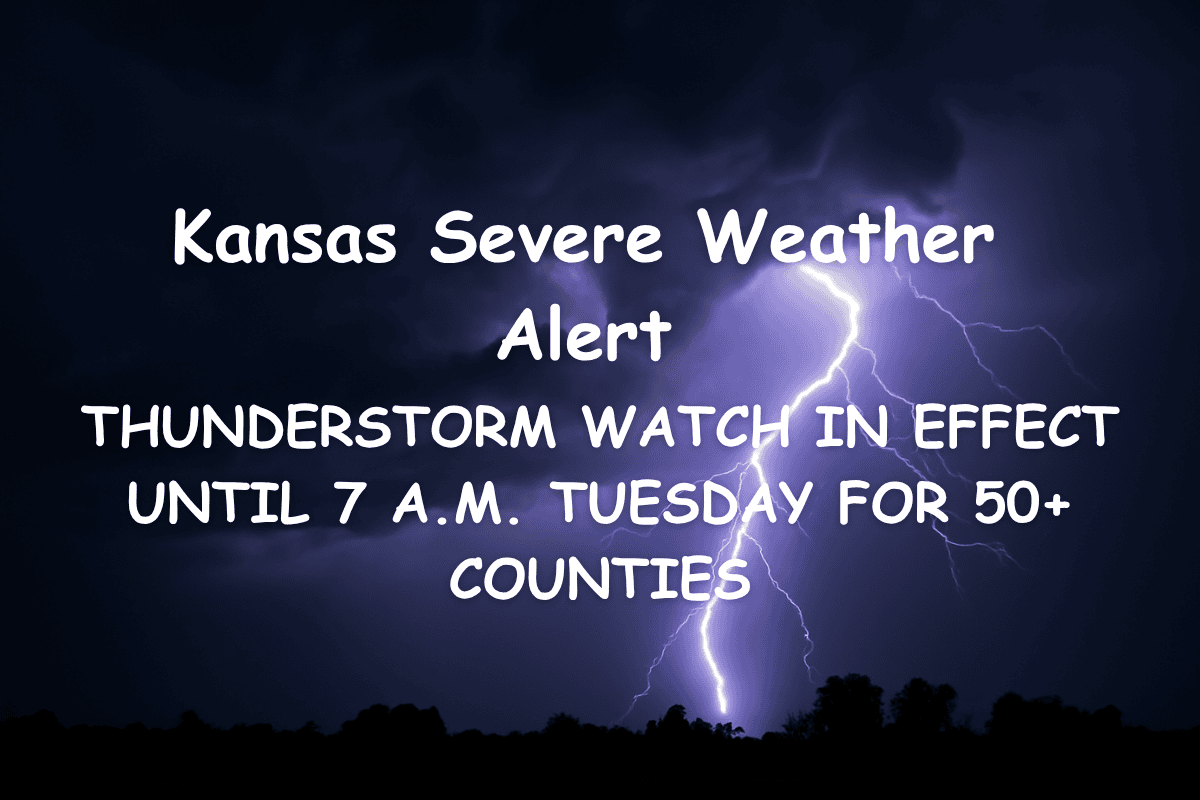
Dodge City, Kansas – Severe thunderstorms are expected to intensify overnight across central and western Kansas, prompting a Severe Thunderstorm Watch that will remain in effect until 7 a.m. CDT Tuesday. More than 50 counties, including Ellis, Saline, and Shawnee, are under this alert.
Thunderstorm Threats
The National Weather Service in Goodland, issued by the Dodge City office, warns that counties like Gove, Logan, and Finney are under active watch conditions. Cities such as Oakley, Quinter, and Salina may experience damaging winds, large hail, and frequent lightning through the early morning hours.
Travel Impact and Safety Precautions
Travelers along I-70 and U.S. 83 are urged to exercise caution, especially near Oakley and Grainfield, where storm activity could reduce visibility and create hazardous driving conditions. Emergency managers recommend staying indoors during lightning and securing outdoor items that could be turned into projectiles by gusty winds.
Potential Hazards
The storms could cause power outages and downed tree limbs as they move eastward. While such storms are typical for late June, the widespread coverage and intensity of this system make it a significant overnight threat.
Stay Updated
Additional alerts or warnings may be issued as the system evolves. Residents should stay tuned to local emergency services and NOAA Weather Radio for real-time updates.


