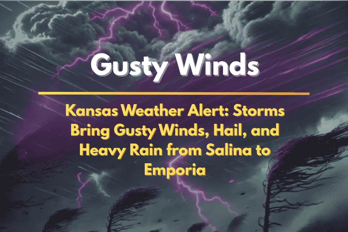
Kansas residents are bracing for scattered thunderstorms today, with gusty winds, dime-sized hail, and heavy rain expected to impact areas from Salina to Emporia and southward through the evening. The National Weather Service in Wichita has issued a weather alert as storm activity increases throughout the day.
Areas Affected by the Storms
The heaviest storms are forecasted to hit central and eastern Kansas, particularly from Salina to Emporia, with a 40% chance of storms in Emporia and a 38% chance in Salina.
As the day progresses, the storms will shift southward, impacting Wichita, Hutchinson, and Winfield. There is also a renewed threat of severe weather for Russell and surrounding counties during the afternoon and evening hours.
What to Expect
Strong thunderstorms will bring gusty winds, which could be strong enough to cause localized damage, and dime-sized hail that may damage crops, vehicles, and roofs. In addition, heavy rainfall could lead to ponding on roadways, creating hazardous driving conditions, particularly on highways like I-135 and US-50 near Salina and Wichita.
Safety Precautions
Local officials are urging residents to stay alert for sudden downpours and reduced visibility on the roads. Drivers are advised to slow down, avoid flooded areas, and keep a safe distance from other vehicles. Those in low-lying areas should monitor the weather closely for potential flash flooding, especially during periods of heavy rainfall.
Additionally, residents are encouraged to secure outdoor objects, as gusty winds may cause damage, and ensure they have multiple ways to receive weather warnings throughout the day.
When Will the Storms End?
The storm risks are expected to taper off late tonight, but the unsettled weather could return later in the week. Stay tuned to the National Weather Service for updated advisories and warnings as conditions evolve.


