A hot and muggy weekend is in store for Kansas, with temperatures reaching into the mid-90s and a rising chance of thunderstorms, especially in the southern half of the state. Thunderstorm chances will continue into Monday morning, with the highest risks expected in southeast Kansas.
Thunderstorm Timing and Risk Areas
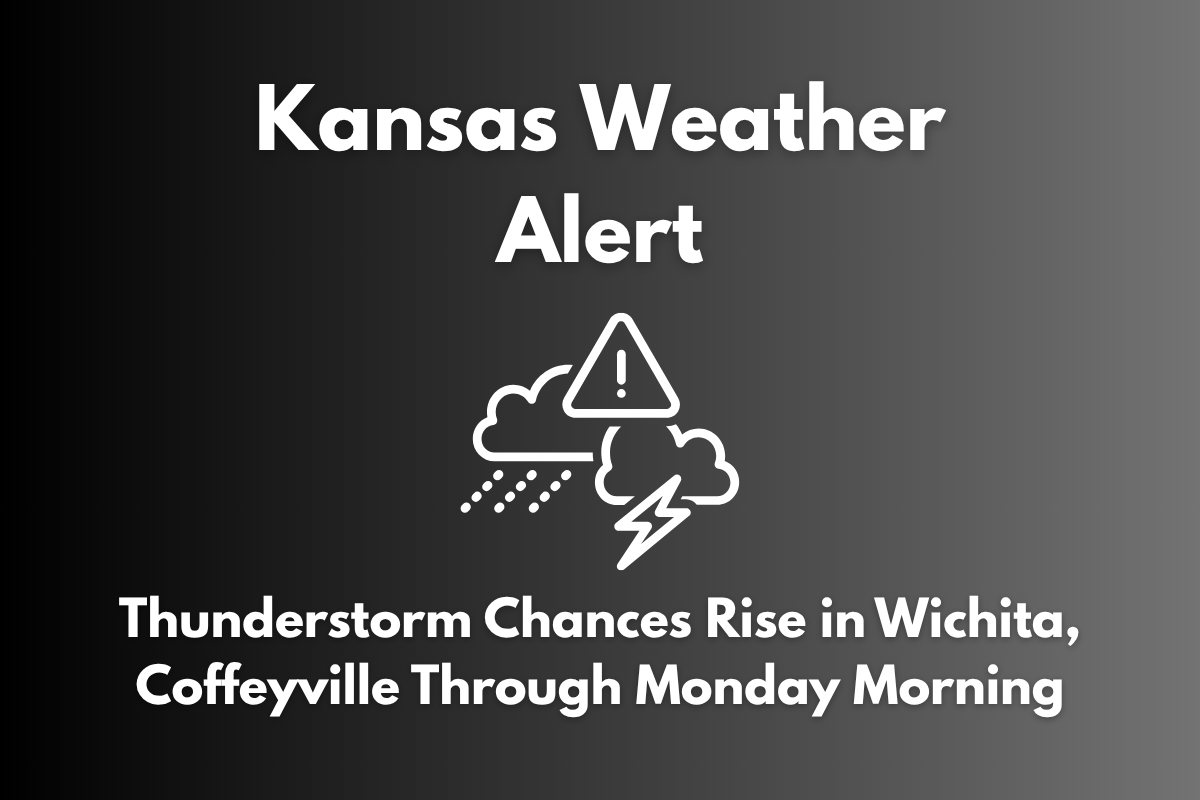
According to the National Weather Service in Wichita, the chance of thunderstorms will be 30–40% on Saturday in southeast Kansas, which includes cities like Coffeyville, Winfield, and Chanute. By Sunday night, the storm chances are expected to increase to as high as 60%. Monday will bring scattered showers, particularly south of U.S. Highway 400, with storm chances ranging from 20–50%.
High Temperatures and Storm Conditions
The forecast for today includes highs of 94°F in Topeka and Salina, 92°F in Wichita and Hutchinson, and 89°F in Eureka, where isolated storms are possible. These high temperatures combined with increasing humidity will create conditions for heavy rainfall in some areas. Be cautious on the road, as wet roadways can become slick, and lightning poses a risk for outdoor activities.
Residents are urged to limit outdoor activities during the hottest hours of the day, stay hydrated, and keep an eye on weather updates. The risk of severe weather will be higher overnight Sunday into Monday, so remain alert for updated warnings or advisories.
Weekend and Early Week Outlook
| Day | Weather | High Temperature | Additional Information |
|---|---|---|---|
| Friday | Isolated storms possible in southeast Kansas | 89°F to 95°F | – |
| Saturday | 30–40% chance of storms in southeast Kansas | 89°F to 95°F | – |
| Sunday | 30–60% chance of nighttime thunderstorms | 90°F to 95°F | – |
| Monday | Scattered storms in southern Kansas | 86°F to 91°F | 20–50% chance of storms |
| Tuesday | Clearing skies late in the day | Upper 80s | – |
Stay weather-aware and be prepared for storm activity to continue into early next week. Additional advisories may be issued, especially for areas in southeast Kansas, depending on how the storm system develops.


