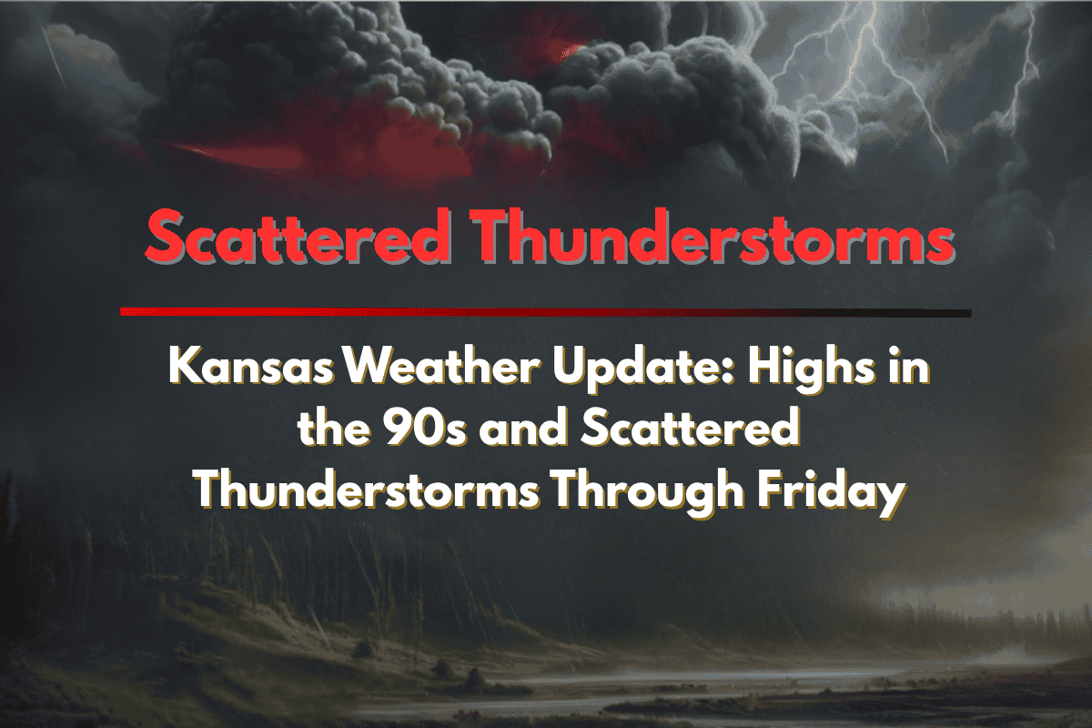
Kansas is set to experience a hot stretch of July weather, with temperatures reaching the mid-90s across much of the state through Friday. Scattered thunderstorms will also bring sudden downpours and lightning, especially in central Kansas, so residents should remain weather-aware as the summer heat intensifies.
What to Expect in the Coming Days
According to the National Weather Service in Wichita, today’s highs will range from 89°F in Topeka to 94°F in Pratt and Harper. Scattered thunderstorms are expected to develop this afternoon, especially from Russell to Chanute.
Wednesday will bring more widespread heat, with temperatures reaching between 90°F and 95°F under mostly sunny skies. As the week continues, rain and thunderstorms may roll through central Kansas by late Thursday. Cities like Salina, Hutchinson, and Emporia could experience gusty winds or brief flooding as the storms pass.
Friday’s Forecast
On Friday, hit-or-miss storms remain possible across the state, particularly during the evening commute. Wichita, Winfield, and Coffeyville have a 50% chance of rain, and travelers on highways like I-35 and US-54 should be prepared for sudden downpours that may slow traffic.
Safety Tips
With the hot temperatures and potential for thunderstorms, it’s important to stay safe and prepared:
Limit strenuous outdoor activities during the hottest part of the day (afternoon).
Stay hydrated and drink plenty of water to avoid heat exhaustion.
Charge your devices in case of power outages from thunderstorms.
Check on vulnerable neighbors and pets to ensure they’re staying cool and safe.
What’s Ahead
The heat and thunderstorm risks will continue through Friday evening, with additional advisories possible as the weather pattern shifts. Stay updated with local weather alerts and take necessary precautions to stay safe during this hot and stormy period.


