Cincinnati, Ohio – Showers and thunderstorms are expected to continue affecting the Ohio Valley through Thursday morning, raising concerns about flooding in cities from Cincinnati to Huntington. Residents and commuters should prepare for heavy rain, waterlogged roads, and rapidly rising streams as storms persist over the next 48 hours.
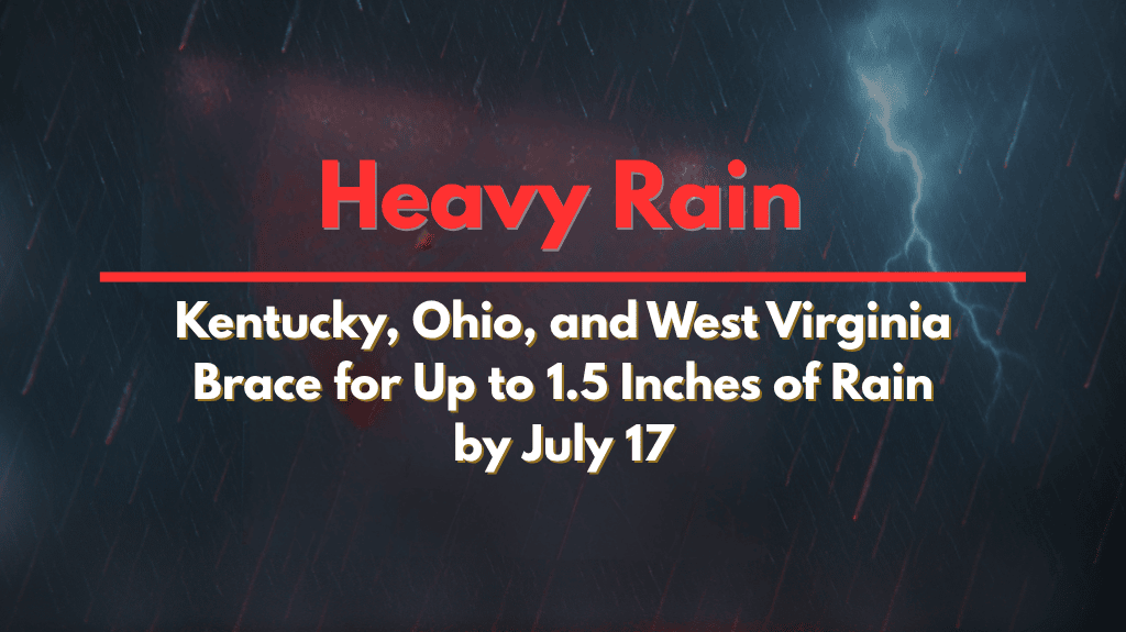
According to the National Weather Service Ohio River Forecast Center, southeast Ohio and northern West Virginia have already received significant rainfall in the last 24 hours, with some areas reporting over an inch of rain. The active weather pattern is expected to continue, with an additional 1 to 1.5 inches of rain likely across southern Ohio, northern Kentucky, and western West Virginia by 8 a.m. Thursday.
Areas Most Affected by Heavy Rain
Travelers on major highways like I-71, I-75, and U.S. Route 52 should be cautious of ponding and potential road closures, especially in flood-prone areas near Portsmouth, Marietta, and Parkersburg. Local emergency managers are advising drivers to avoid water-covered roadways, secure outdoor items, and stay updated on weather alerts for rapidly changing conditions.
Residents in low-lying neighborhoods and near creeks should be prepared to move to higher ground if flood warnings are issued.
Ongoing Flood Risk and Additional Storms
This prolonged weather pattern follows a summer of scattered storms, and it could bring the region’s heaviest widespread rainfall since early June. Additional showers and storms are likely into the weekend, keeping the flood risk elevated.
Warnings remain in effect across the Ohio Valley through Thursday morning, with additional advisories possible as rainfall totals continue to rise.


