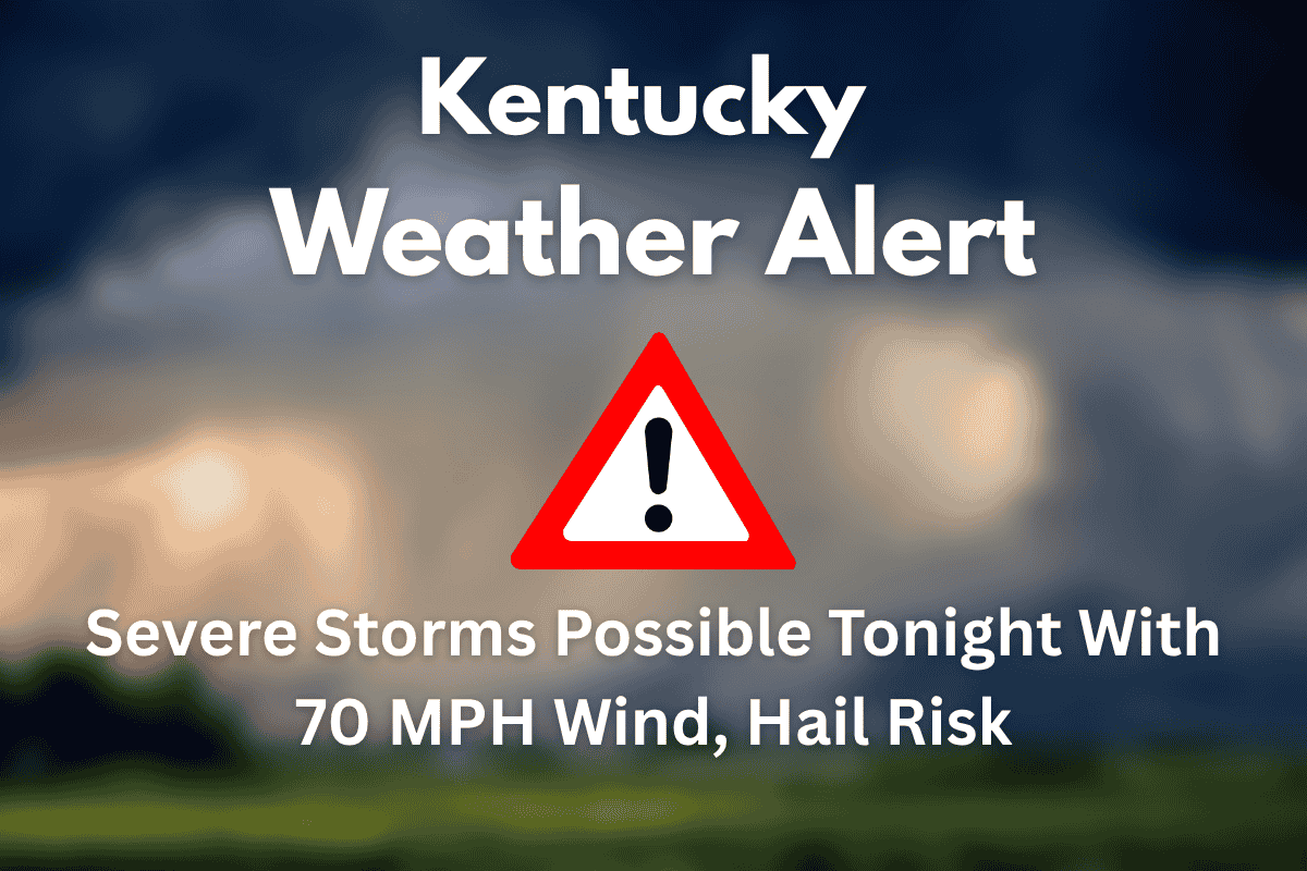
Kentucky is facing severe thunderstorms late Wednesday afternoon into the night, with the National Weather Service (NWS) in Louisville issuing a warning for strong winds, heavy rain, and potential hail.
The threat will peak between 5 p.m. and midnight, especially along and north of the I-64 corridor. Wind gusts could reach 70 mph, and flooding is a concern, making it crucial for residents to stay prepared and cautious.
Severe Storm Threat Across Kentucky
The storms are being triggered by a cold front moving through the region, which will bring wind gusts of over 60 mph, localized flooding, and possible hail. The primary threat for the most severe weather will occur between 5 p.m. and midnight.
The areas most at risk are Jefferson, Oldham, and Shelby counties, where power outages and hazardous travel conditions are expected. Residents should also prepare for frequent lightning, brief torrential downpours, and scattered thunderstorms that could impact evening activities and commutes.
Storm Impact on Travel and Outdoor Events
The storm will bring intense rainfall, frequent lightning, and possible hail, causing disruptions for evening commutes and outdoor events. With the threat of localized flooding, drivers should avoid roads that are flooded or could quickly become submerged.
Additionally, outdoor items should be secured to avoid damage from strong winds. It’s also a good idea to charge phones and devices in case of power outages. While the storm will continue into Thursday, it is expected to lose some intensity by then.
Safety Tips and Precautions
Given the severity of the storm, residents should take immediate precautions. Avoid outdoor burning or activities that could spark fires. Make sure that any loose outdoor items are secured to prevent damage in the high winds. It’s essential to charge phones and devices so you can stay informed if power outages occur.
Monitoring NOAA Weather Radio or local alerts is key to staying updated on the storm’s progress. Be sure to avoid driving on flooded roads, as even a small amount of standing water can cause serious problems.
Outlook for the Weekend
The severe weather should subside by Thursday, giving way to sunny skies and a rise in temperatures. By the weekend, Kentucky will experience a heat surge with temperatures expected to climb into the upper 80s and low 90s. The heat index will likely reach the mid-90s by Saturday, so it’s important to stay hydrated and take steps to stay cool as the heat takes over.
As severe thunderstorms move through Kentucky tonight, residents need to stay prepared for strong winds, hail, and potential flooding. The highest risk will be between 5 p.m. and midnight, with conditions improving by Thursday.
Be sure to take necessary precautions, including securing outdoor items, avoiding flooded roads, and staying updated on weather alerts. The weekend will bring warmer temperatures, so prepare for a hot end to the week.


