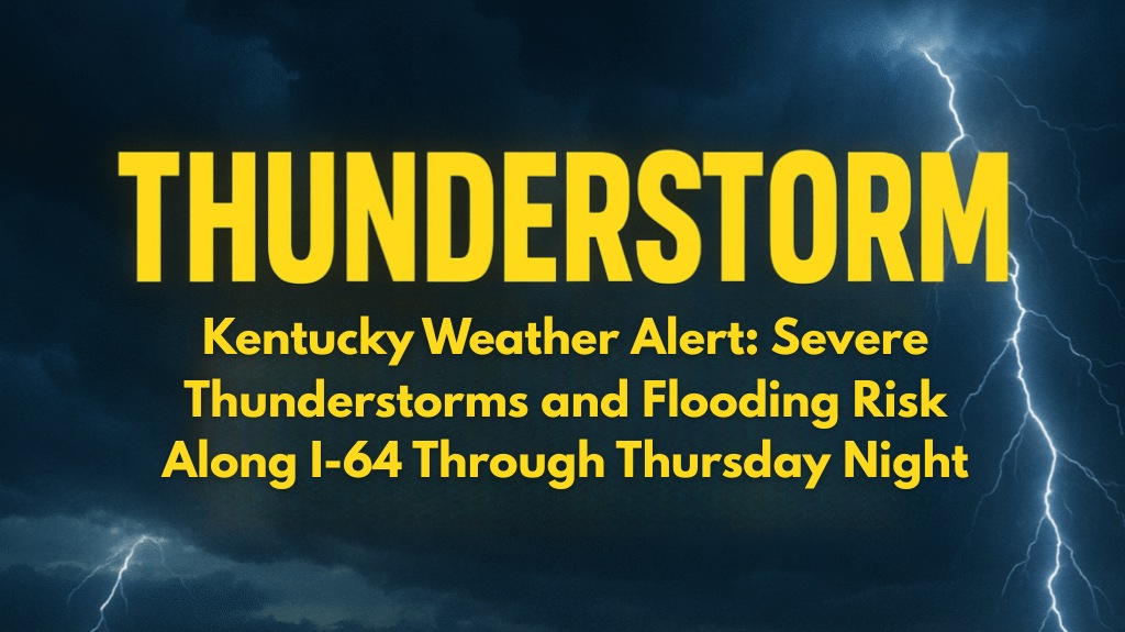
Strong storms are set to impact much of western Kentucky from Wednesday night into Thursday, with the potential for damaging winds, heavy rain, and isolated flooding, especially along the Interstate 64 corridor.
What to Expect from the Storms
According to the National Weather Service in Paducah, a cold front will arrive on Wednesday night, triggering scattered thunderstorms. These storms are expected to be strongest north of I-64, where gusty winds will be the main concern.
While some brief downpours may cause localized flooding, urban areas and low-lying roads are particularly vulnerable. The threat of storms will increase overnight, with the worst weather likely to occur on Thursday, when widespread showers and thunderstorms are expected throughout the region.
Areas at Highest Risk
Communities in Paducah, Henderson, Evansville, Carmi, and Mount Vernon are most likely to experience severe weather, including strong winds and the possibility of quick power outages. Residents in these areas should stay alert and prepared for potential disruptions.
How to Prepare for the Storm
Emergency managers recommend the following precautions for residents:
Secure outdoor items that could be blown away by strong winds.
Charge cell phones and other essential devices in case of power outages.
Avoid driving through flooded streets, as heavy rain could quickly cause localized flooding.
For motorists on I-64 and nearby highways, hazardous driving conditions are expected. Reduced visibility and water ponding on roads during heavy rain will make travel dangerous, especially during periods of intense rain.
Thursday: Wettest Day with More Storms
Thursday is predicted to be the wettest day, with precipitation chances over 60% in several cities. While the storms are expected to ease by Friday, the threat of flooding may persist. More updates will be issued if the situation worsens. It’s crucial for everyone in the affected areas to stay tuned to local weather alerts and have multiple ways to receive warnings.


