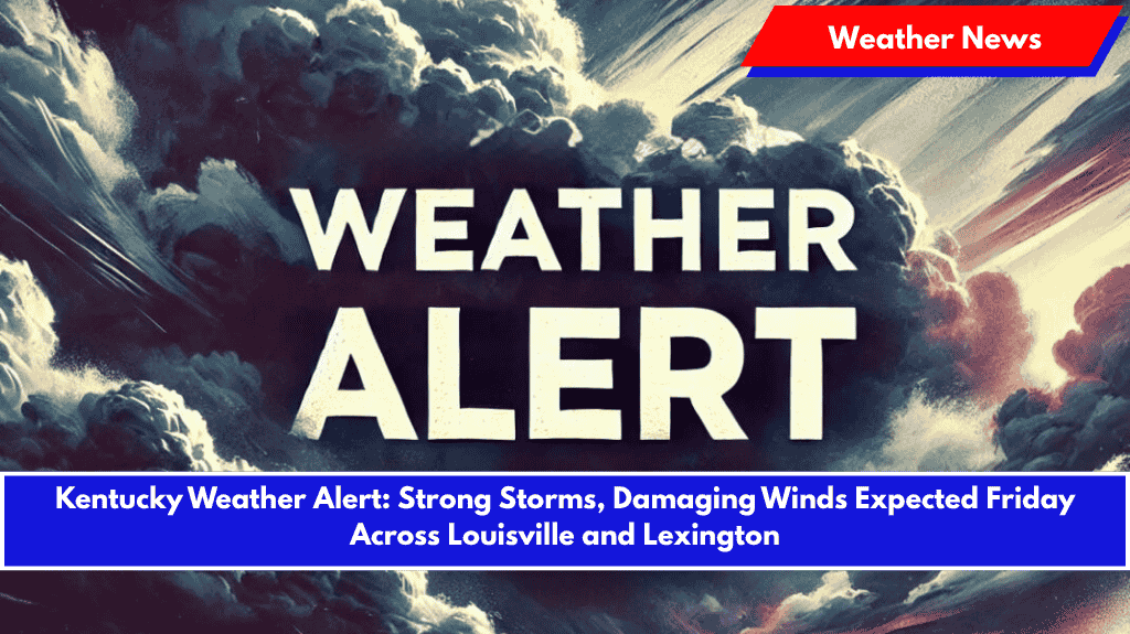
Louisville, Ky. – A surge of severe thunderstorms is expected to affect central and eastern Kentucky on Friday, with damaging winds and isolated flooding risks in Louisville, Lexington, and surrounding areas.
The National Weather Service in Louisville has issued a weather warning, as a stalled frontal boundary will bring repeated rounds of storms through Saturday. While the threat will continue into the weekend, the greatest risk for severe weather is focused on Friday.
A Slight Risk (Level 2 of 5) has been issued for central Kentucky, which includes Louisville, Lexington, Frankfort, Richmond, Elizabethtown, and Campbellsville. Parts of western Kentucky will face a Marginal Risk on Thursday, but confidence in more widespread impacts is increasing for Friday.
Key Hazards Expected:
- Wind Gusts: Gusts reaching 60+ mph may cause damage to trees, power lines, and buildings.
- Flash Flooding: Localized flooding in low-lying areas, particularly on poorly-drained roads.
- Large Hail: Hail may accompany the storms, with potential damage to vehicles and crops.
- Timing: While storms could begin as early as Thursday afternoon, Friday’s line of storms is expected to bring the most significant impacts, especially during the afternoon and evening commute.
Potential Impacts:
- Power outages: Strong winds and trees may cause widespread power disruptions.
- Travel disruptions: Expect possible traffic delays or road closures due to flooding, especially in flood-prone areas.
- Property damage: High winds and hail could cause damage to homes, vehicles, and outdoor structures.
Safety Tips:
- Secure Loose Items: Bring in outdoor furniture, decorations, or anything that could be blown away by the wind.
- Avoid Flood-Prone Roads: Steer clear of low-lying areas that may flood, and avoid travel during peak storm times.
- Stay Informed: Ensure weather alerts are enabled on your mobile device, and monitor local reports for updates.
Looking Ahead:
Storm chances will continue into Saturday, though conditions are expected to improve later in the day. Additional updates and alerts may be issued as the situation develops, particularly as the timing and intensity of the storms become clearer.


