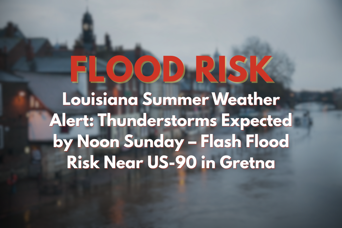
Gretna, Louisiana – A round of thunderstorms is expected to move into Gretna by midday Sunday, bringing potential flash flooding and travel disruptions along US-90 and LA-23.
According to the National Weather Service in New Orleans, showers and storms are likely to begin after 1 p.m. Sunday and may continue into the evening. With temperatures peaking near 92°F and winds shifting southeast at 5 to 10 mph, the high humidity will fuel scattered but heavy downpours, especially across Jefferson Parish.
Impacts on Travel
Motorists should be prepared for:
Sudden visibility drops and water pooling on roads.
If traveling along major routes like US-90 or Belle Chasse Highway, allow extra time and avoid flooded low spots.
There is also a risk of power flickers in localized areas due to strong wind gusts.
Extended Outlook
Monday: The rain chances slightly decrease but isolated storms remain possible after 1 p.m., with a high near 91°F. Winds will shift southward before calming overnight.
Tuesday: Another 50% chance of afternoon thunderstorms, with temperatures staying in the lower 90s. Rain chances continue through the week, with a brief dry period on Wednesday night.
🌤️ Five-Day Forecast for Gretna (July 6–11)
| Day | Weather | High Temperature | Low Temperature | Chance of Storms |
|---|---|---|---|---|
| Sunday | Thunderstorms likely after 1 p.m. | 92°F | 77°F | Likely after 1 p.m. |
| Monday | Slight chance of storms after 1 p.m. | 91°F | 78°F | Slight chance after 1 p.m. |
| Tuesday | 50% chance of storms after 1 p.m. | 91°F | 78°F | 50% chance after 1 p.m. |
| Wednesday | Slight storm chance in the evening | 92°F | 78°F | Slight chance in the evening |
| Thursday | Thunderstorms likely, especially in the p.m. | 93°F | 78°F | Likely in the p.m. |
Stay weather-aware this weekend and take necessary precautions to avoid travel disruptions and flash flooding. Stay safe, and plan accordingly for heavy rain and storms!


