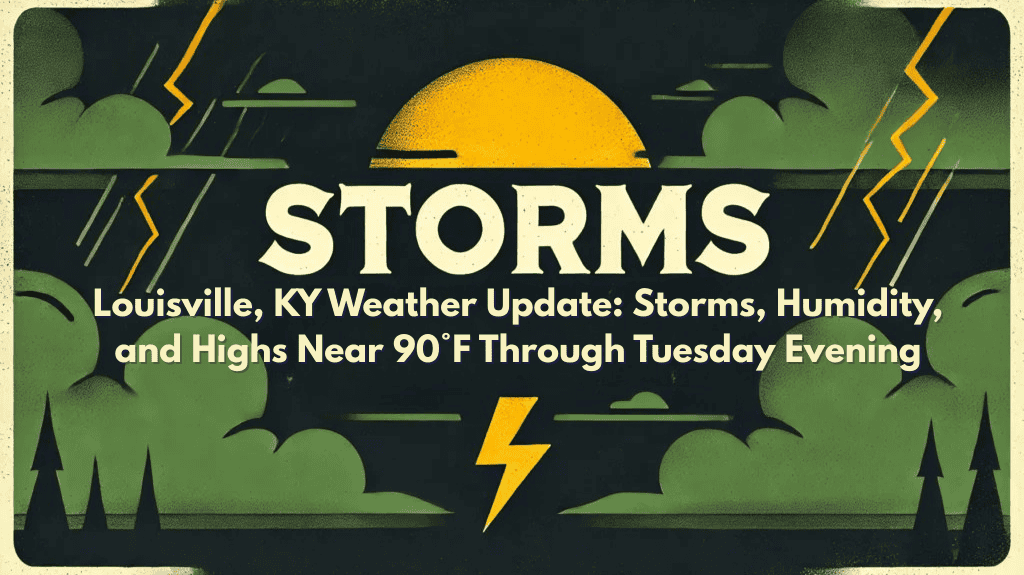
Louisville, KY – Kentucky will experience muggy nights and hot, stormy afternoons until Tuesday evening, with scattered showers and thunderstorms threatening travel and outdoor plans across the region.
According to the National Weather Service in Louisville, lingering storms may continue tonight with temperatures dropping between 69 and 75 degrees. Starting Sunday, the chances of scattered showers and thunderstorms will increase each afternoon and evening, with highs reaching 94 degrees by Tuesday.
Residents in Louisville and nearby areas such as Elizabethtown, Bardstown, and Shelbyville should be ready for heavy rainfall, lightning, and gusty winds, which may cause brief road flooding or power outages.
Evening storms could lead to delays on I-65 and I-64, so drivers are advised to slow down when driving on wet roads. The muggy conditions will also make it uncomfortable for those without air conditioning to cool down at night.
To stay safe during these storms, it’s best to limit outdoor activities when storms are approaching, secure loose outdoor items, and have a flashlight ready in case of power outages. While summer storms are common in Kentucky during July, these storms can change quickly and bring unpredictable conditions.
Storm chances will remain high through Tuesday, and additional weather advisories may be issued as the week progresses.


