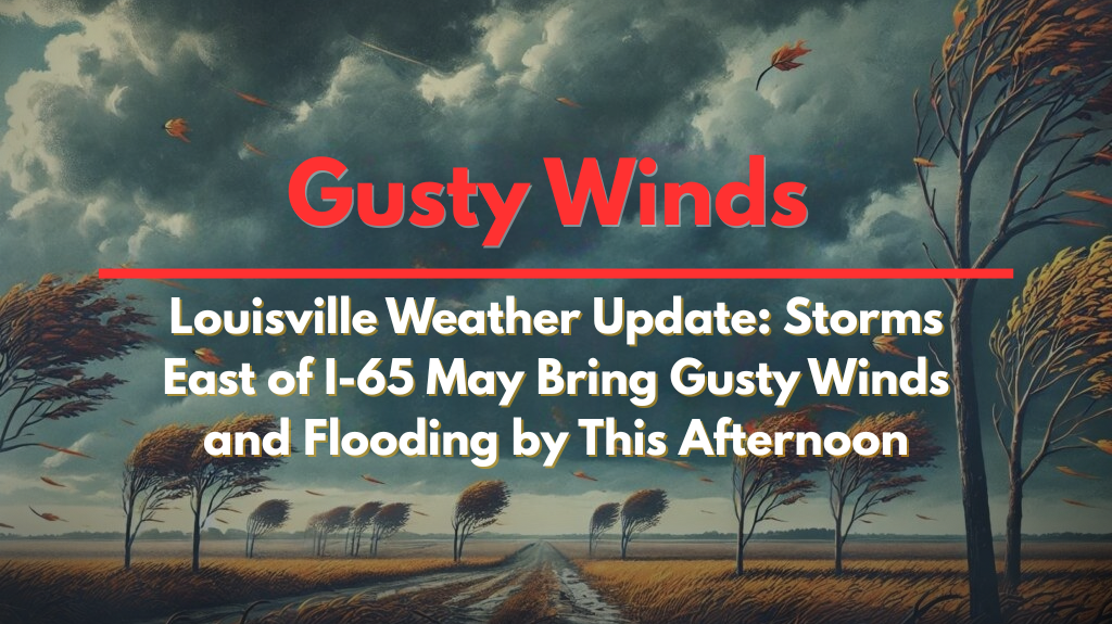
Louisville, Kentucky – Strong thunderstorms are expected to affect central and eastern Kentucky this afternoon, bringing dangerous lightning, localized flooding, and gusty winds. These storms will create travel disruptions and safety concerns throughout the evening.
According to the National Weather Service in Louisville, light showers will continue through the morning, with storm activity intensifying around midday. The heaviest storms will be most widespread east of I-65, where temperatures could reach 90°F, fueling more intense downpours. Areas west of I-65 will see more scattered storms.
Areas at Risk and Weather Hazards
Cities like Lexington, Richmond, and Elizabethtown are likely to experience the strongest storms between 1 p.m. and 7 p.m. These areas could face brief street flooding, with wind gusts topping 35 mph.
Thunderstorms are also expected to disrupt outdoor activities and slow down evening commutes, especially along I-64 and the Bluegrass Parkway.
Residents are advised to stay informed through local alerts, move indoors during thunderstorms, and avoid driving through water-covered roads. Power outages caused by downed power lines or wind damage are also a concern, so it’s important to keep mobile devices charged.
Forecast and Safety Tips
Storms will begin to taper off after sunset, but similar stormy conditions are expected to return on Tuesday. In the meantime, keep monitoring weather updates, avoid unnecessary travel, and stay safe during the storms.


