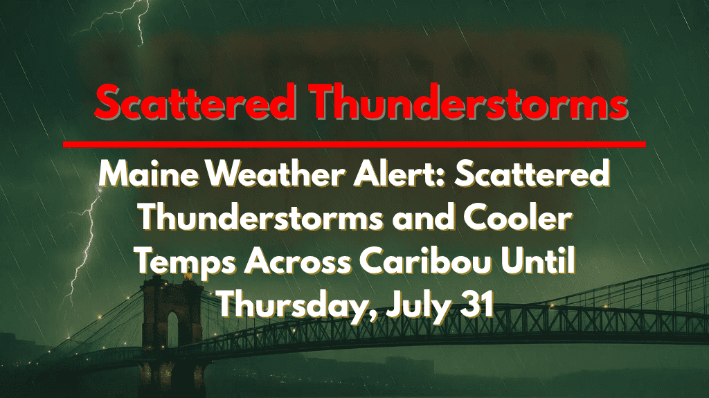
Northern Maine residents are in for a shift in weather this week, as scattered thunderstorms give way to cooler, more comfortable conditions by the weekend. From Caribou to Houlton, and along key travel routes like Route 1 and Route 11, brief storms and cooler air are all part of the changing forecast through Thursday, July 31.
🌦️ Early Week Storms Across Northern Maine
On Tuesday, July 30, the day begins with a weather disturbance moving through the region, especially across northern and interior parts of Maine. The National Weather Service has reported spotty showers and isolated thunderstorms in the area. Some of these storms could bring brief wind gusts and sudden downpours, particularly in Aroostook County.
Temperatures will stay relatively warm, reaching near 80°F in the north and upper 80s in the southern interior. Skies will be partly to mostly sunny in other areas, but those travelling on Route 1 and Route 11, especially from Fort Kent to Houlton, should be extra cautious around midday due to possible slick roads and reduced visibility.
🌙 Cooler Tuesday Night with Clear Skies
By Tuesday night, skies will become partly cloudy, and temperatures will cool down. Expect lows in the upper 50s in northern towns and around 60°F further south. If you’re out after dark, look up—the crescent moon is expected to set just after 10 p.m., offering a clear night sky in most areas.
🌩️ Wednesday Brings Scattered Thunderstorms Again
A cold front moving in from the northwest will trigger scattered thunderstorms on Wednesday, especially north of Bangor and across Aroostook County. The storms might bring gusty winds, though severe weather risk remains low. It’s a good idea to secure outdoor items and stay updated on weather alerts, especially during the afternoon and early evening.
Daytime temperatures will drop slightly, with highs in the mid-70s in the north and low 80s in southern parts. Rain might pass quickly, but could still disrupt travel or outdoor plans for a short time.
🍂 Fall-Like Weather Returns by Thursday and Friday
Good news for those looking forward to milder weather: Thursday and Friday will feel much cooler and drier, almost like early fall. Expect clear skies, light breezes, and highs in the low to mid-70s across most of Maine. It’s a perfect time to plan some outdoor activities or enjoy the fresh, crisp air with fewer bugs and lower humidity.
🌤️ Weekend Outlook Looks Dry and Warmer
Looking ahead to the weekend, the weather is expected to stay mostly dry with gradual warming. This makes it an ideal stretch for barbecues, local events, hiking trips, or just enjoying time outside. While a stray shower isn’t impossible, no major rain or storm threats are currently forecasted through Sunday.
📝 Final Thoughts
The weather across Caribou and northern Maine will go through a quick change this week—from scattered storms and muggy conditions to a much cooler and sunnier setup by Thursday. If you’re traveling or spending time outdoors, keep an eye on local alerts, and make sure you’re ready for sudden showers or gusts, especially through Wednesday evening. After that, the region can look forward to a refreshing break from the summer heat and a picture-perfect weekend ahead.


