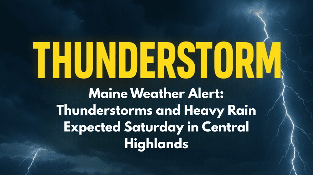
A strong cold front is set to move across Maine this weekend, bringing rain, thunderstorms, and cooler air behind it. The most affected areas will be the Central Highlands and the regions south of Mount Katahdin, where downpours could be heavy and storms may pop up during the afternoon and evening.
Rain and Thunderstorms to Start the Weekend
According to the National Weather Service in Caribou, light showers may begin late tonight, mainly near and north of the I-95 corridor. Patchy fog is also expected, especially in areas south of Katahdin. Friday will stay mostly cloudy and quite humid, with scattered showers continuing across the northern and central parts of the state.
The real impact begins on Saturday, when a stronger round of rain sweeps across the state from northwest to southeast. Some thunderstorms could also develop, mainly in the northern regions, as daytime temperatures rise into the low 80s in interior areas—creating ideal conditions for unstable weather.
Here’s what to expect on Saturday:
Widespread rain, especially in central and northern parts
Possible thunderstorms in the afternoon and evening
Warm and humid conditions ahead of the front
Breezy southeast winds, especially in open areas
Cooler, Drier Air to Follow
Once the cold front passes, the weather will start to calm down. On Sunday, the rain will clear from north of Katahdin in the morning, while southern and eastern Maine may see showers linger into the afternoon or evening, especially in Downeast areas.
As we move into early next week, much more pleasant weather is expected, with lower humidity, cooler temperatures, and clearer skies.
Here’s a quick look at the 5-Day Forecast for Caribou, Maine:
| Day | Weather Conditions | High Temperature |
|---|---|---|
| Friday | Mostly cloudy, humid, scattered showers | 75°F |
| Saturday | Rain and possible thunder, breezy winds | 78°F |
| Sunday | Morning showers tapering off | 70°F |
| Monday | Sunny and cooler | 68°F |
| Tuesday | Partly cloudy | Low 70s°F |
Stay Weather-Aware This Weekend
People in the Central Highlands and interior areas south of Katahdin should stay alert, especially on Saturday afternoon when thunderstorms may develop. Localized heavy rain could cause minor flooding in low-lying areas or where the ground is already saturated. If you’re planning to travel, go hiking, or attend outdoor events, keep a rain plan ready and monitor local weather updates.
Also, make sure to:
Check forecasts before heading out
Drive carefully in rain or fog
Keep electronics charged in case of power issues
Stay indoors during any thunder or lightning
While the weekend starts off wet and possibly stormy, the good news is that better weather is right behind the cold front. By Monday, cooler air and sunshine will return, making it a great start to the new week. Until then, keep your umbrella handy, and stay safe during Saturday’s rain and storms.


