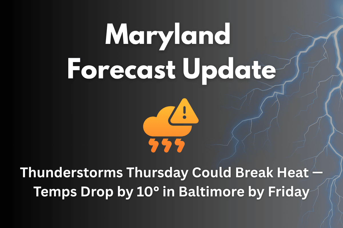
Baltimore, Maryland – After several days of dangerous heat, relief is finally on the way for Maryland, with strong thunderstorms expected Thursday, bringing a 10-degree cooldown to Baltimore by Friday.
Extreme Heat Warning and Relief on the Horizon
The National Weather Service has issued an Extreme Heat Warning for Baltimore and much of central Maryland through 9 p.m. Tuesday, with heat index values reaching near 110°F. However, the weather will start to shift late Wednesday night into Thursday, as a cold front triggers scattered thunderstorms and begins to cool temperatures.
What to Expect on Thursday
On Thursday, expect widespread thunderstorms across Baltimore, Howard County, and along the I-95 corridor. The high temperature will reach around 97°F, but the storms will bring a significant cooldown.
By Friday, temperatures will drop to the lower 90s, ending a multi-day stretch of triple-digit heat. Showers may start as early as 2 a.m. Thursday, continuing into the evening. Localized flooding is possible in areas with poor drainage.
Impact on Travel
Drivers should prepare for potential delays along I-695, Route 40, and I-83, especially during the Thursday evening commute, as thunderstorms and gusty winds could cause disruptions. Residents are advised to secure outdoor items and be prepared for temporary power outages due to lightning or strong winds.
Five-Day Forecast: June 24–28
| Day | Weather | High Temperature | Additional Information |
|---|---|---|---|
| Tuesday | Sunny, extreme heat risk | 104°F | – |
| Wednesday | PM storms possible after 2 p.m. | 101°F | – |
| Thursday | Thunderstorms likely, cooler evening | 97°F | – |
| Friday | Mostly cloudy, chance of PM storms | 91°F | – |
| Saturday | Humid, afternoon thunderstorms possible | 93°F | – |
| Sunday | Partly sunny, scattered storms | 93°F | – |
Thursday’s thunderstorms will mark the beginning of a cooler, stormier pattern that will continue through the weekend. After days of intense heat, expect temperatures to drop and storms to provide relief, but continue to stay updated as weather conditions evolve.


