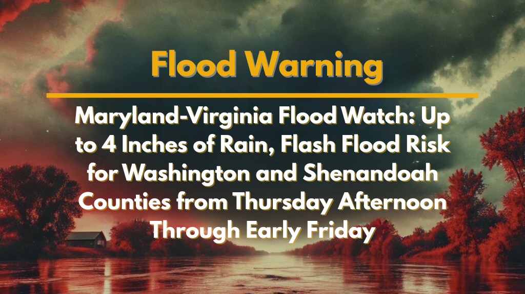
Frederick, MD – A Flood Watch has been issued for parts of Maryland, Virginia, and West Virginia due to the threat of flash flooding from heavy thunderstorms. The storms are expected to bring up to four inches of rain in some areas from Thursday afternoon through early Friday morning.
Areas Under Flood Watch
The National Weather Service has placed Washington County in Maryland, much of Northern and Central Virginia, including Shenandoah, Culpeper, Stafford, Spotsylvania, and King George counties, as well as the panhandle of West Virginia (including Berkeley and Jefferson counties) under a Flood Watch. The watch will begin at 2 p.m. Thursday and continue through the early hours of Friday. Rainfall rates of 1 to 2 inches per 30 minutes are expected, which could lead to significant flooding.
Flash Flooding Risks and Impact
Heavy rainfall could cause excessive runoff, flooding creeks, rivers, and low-lying roads, especially in urban areas and regions with poor drainage. Major roads such as US-340, I-81, and secondary highways could experience water over the roadway, creating hazardous travel conditions and potential road closures. Residents in affected areas should be prepared for rapidly changing conditions.
Safety Measures and Travel Tips
Emergency officials are advising residents to avoid driving through standing water, as even small amounts of water can cause cars to stall or be swept away. Travelers should also stay off flooded roadways and avoid traveling during peak storm hours. It’s important to charge mobile devices in case of power outages and prepare for the possibility of rapid evacuations if Flash Flood Warnings are issued.
What to Expect
The storms could occur in multiple rounds, with flash flooding potentially developing quickly in vulnerable areas. The Flood Watch is in effect until 2 a.m. Friday, and additional warnings may be issued if conditions worsen. Residents should stay alert for updates and be ready to act if a Flash Flood Warning is issued.


