Heat will build across the region this weekend, but the bigger concern arrives Tuesday when damaging storms could sweep through the metro area, with the National Weather Service (NWS) issuing a Hazardous Weather Outlook.
Severe thunderstorms are expected to develop Tuesday afternoon into the evening, bringing risks of large hail, damaging wind gusts, and quickly changing conditions.
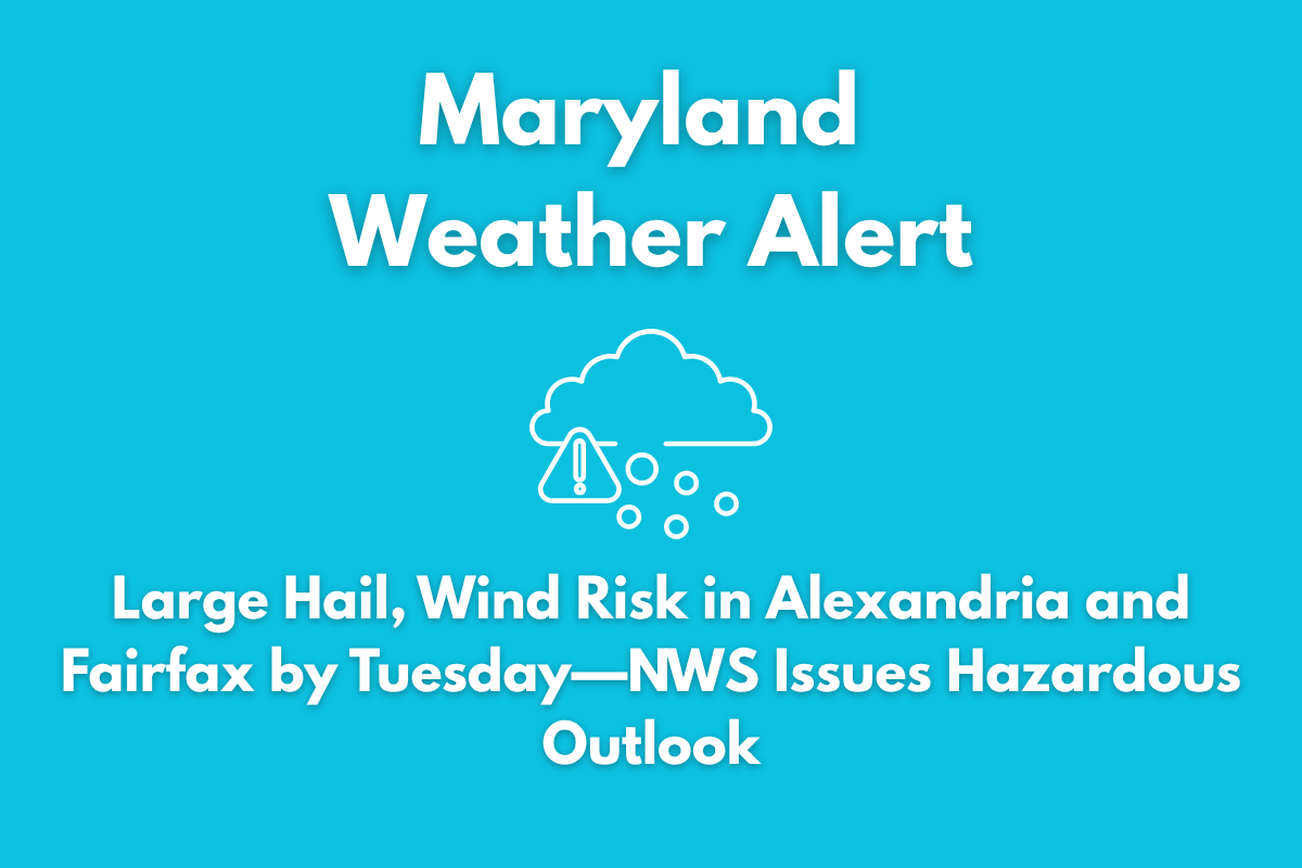
Storm Threats in Maryland, Northern Virginia, and D.C.
According to the NWS in Baltimore/Washington, central Maryland, northern Virginia, and Washington D.C. are under a Hazardous Weather Outlook as thunderstorms ramp up, particularly along the I-95 and I-66 corridors.
These storms could bring wind gusts strong enough to cause damage, along with hail large enough to damage vehicles and crops.
Residents should prepare for rapidly changing conditions. Charge devices, secure outdoor furniture, and plan alternate routes if severe weather warnings are issued. Storms may develop late Tuesday afternoon and last into the evening, potentially disrupting travel and outdoor activities.
Weekend and Monday Weather Outlook
Saturday begins with patchy fog and a 30% chance of morning showers, mostly clearing by the afternoon with temperatures reaching near 92°F. Sunday will bring mostly sunny skies with a slight chance of evening storms and highs again in the low 90s.
Monday is expected to be the hottest day of the week, with temperatures peaking at 92°F. Thunderstorms are possible after 2 p.m., and conditions will become more favorable for severe storms as the evening approaches. The risk of severe weather will escalate into Tuesday.
Preparing for Tuesday’s Severe Weather
On Tuesday, the risk for severe storms increases, with damaging winds and large hail possible after 2 p.m. Storms could continue into the evening, and the high temperature will be around 89°F. It’s important to stay updated on local weather alerts, as more warnings could be issued if the storms intensify.
Relief on Wednesday
Expect some relief on Wednesday, with sunny skies and highs around 90°F. While conditions will improve, it’s still crucial to monitor any further updates as more severe weather may develop later in the week.


