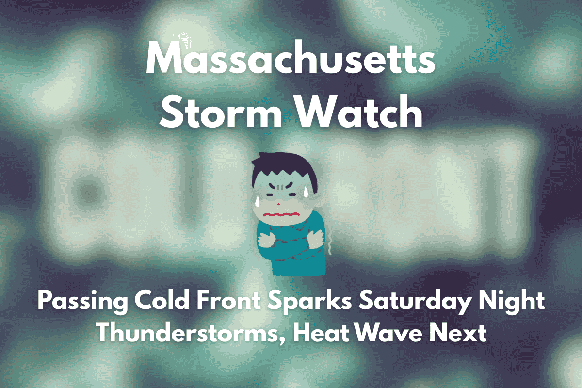
A strong cold front moving through Massachusetts on Saturday night is set to bring widespread thunderstorms, potentially disrupting weekend travel and outdoor plans across the state. As the front approaches, the weather will shift, with cooler conditions followed by a heat wave early next week.
Timing and Impact of the Storms
According to the National Weather Service in Boston, light showers may begin late Friday into Saturday morning, but the most intense round of storms will arrive on Saturday evening as the front moves through. By 6 p.m., rain chances will spike to 65% in cities like Gloucester, Provincetown, and Worcester. These storms could bring brief but heavy downpours, lightning, and gusty winds, particularly along major highways like I-90 and Route 128.
Temporary Relief Followed by Heat
Behind the cold front, conditions will cool temporarily on Sunday, with highs ranging from the upper 70s to low 80s and drier air taking over. However, the relief will be short-lived. As the heat builds, temperatures will soar into the upper 80s and low 90s across Massachusetts by Monday. Springfield and Hartford could reach highs of 93°F, while Boston nears 89°F by Tuesday.
Second Round of Storms Expected
Another cold front is expected to push through on Tuesday afternoon, bringing another round of storms with a 65% chance of rain. Conditions should stabilize later in the week as the storms subside.
Five-Day Massachusetts Weather Outlook
| Day | Weather | High Temperature | Additional Information |
|---|---|---|---|
| Saturday | Showers and thunderstorms likely by evening (60–65% chance) | 75–83°F | – |
| Sunday | Drier weather behind the front | 78–84°F | – |
| Monday | Hot and mostly sunny | 88–93°F | – |
| Tuesday | Afternoon storms with next front (up to 65% chance) | 85–91°F | – |
| Wednesday (July 2) | Mostly dry and warm | 85–90°F | – |
As the Fourth of July approaches, residents are encouraged to stay weather-aware for any updates on storms or advisories.


