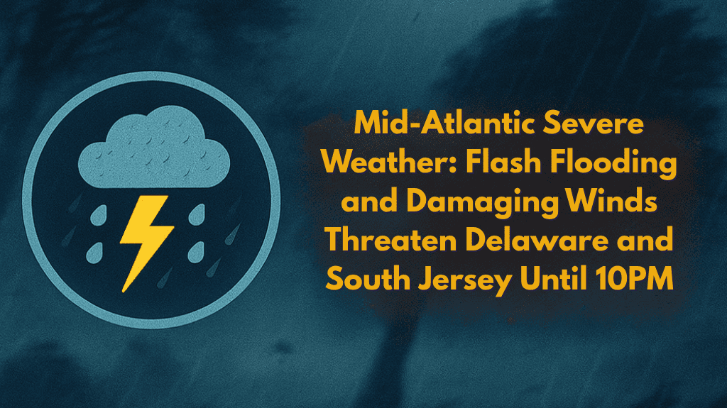
Philadelphia, Pa. – Thunderstorms capable of producing damaging wind gusts and localized flash flooding will continue to pose a threat across the Delmarva Peninsula until 10 p.m. Saturday. The heaviest activity is expected in southern Delaware and eastern Maryland, with strong storms intensifying through the evening.
Storm Risks and Severe Weather Conditions
According to the National Weather Service in Mount Holly, while much of the Philadelphia region and southern New Jersey is seeing scattered light rain and drizzle, pockets of heavier showers and thunderstorms are intensifying over Delmarva. Wind gusts up to 60 mph are possible, especially near Dover, Georgetown, and Easton, as storms move through the area.
Flash Flooding Threat and Travel Safety
Localized flash flooding could develop in low-lying and urban areas, particularly where repeated downpours occur. Roads along Routes 13 and 113 are likely to become hazardous during peak rainfall times. The NWS has highlighted a “slight” risk of excessive rainfall in lower Delmarva, with a “marginal” risk extending into southeastern Pennsylvania and coastal New Jersey.
Safety Precautions
Residents are urged to avoid driving through flooded roadways, secure loose outdoor items, and be prepared for brief power outages. If you hear thunder, move indoors immediately for safety. Strong winds and heavy rain can quickly change conditions, making outdoor activities dangerous.
What to Expect Overnight
Lingering showers are likely to continue overnight, but the severe weather threat will diminish after 10 p.m. If storms intensify or new warnings are issued, further updates will be provided.


