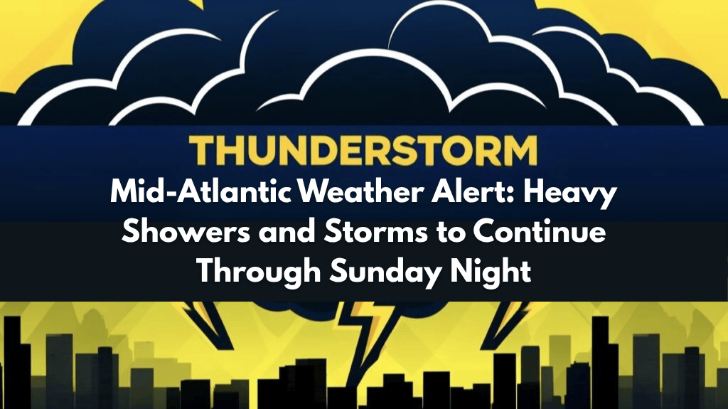
People living in Maryland, Pennsylvania, Virginia, Delaware, and New Jersey should stay weather-aware this weekend. A warm and humid air mass is fueling scattered showers and thunderstorms that are expected to continue through Sunday evening, with the chance of 1 to 2 inches of rain in many areas—and even more in some spots.
What’s Behind This Weekend’s Stormy Weather?
According to the National Weather Service Middle Atlantic River Forecast Center, the region will experience slow-moving thunderstorms that could lead to heavy downpours in short periods of time. These storms may develop suddenly and drop large amounts of rain, especially in urban and low-lying areas.
While major river flooding is not expected, fast water rises of 1 to 3 feet are possible in smaller streams and creeks. Storm drains and local waterways may not be able to handle such quick bursts of rain, especially in cities and neighborhoods with poor drainage.
Travel May Be Disrupted on Busy Roads
Drivers using key travel routes like I-95, I-83, I-76, and other highways should be prepared for sudden ponding, reduced visibility, and slippery conditions. Avoid driving through water-covered roads, as even shallow water can be dangerous and damage vehicles. Emergency crews warn that it only takes a few inches of water to cause a vehicle to stall or float.
Always check weather updates and traffic reports before heading out, especially if your travel plans involve longer distances or passes through flood-prone areas.
Impacted Areas Across the Region
Cities such as Baltimore, Philadelphia, Wilmington, Allentown, Harrisburg, and even as far south as Richmond may all see periods of heavy rain and gusty winds over the weekend. These kinds of widespread, scattered summer storms are typical for the Mid-Atlantic, but the added moisture in the air is making conditions more intense than usual.
Events like weekend markets, festivals, sports games, and barbecues may be affected by the weather. Organisers and participants should keep flexible plans and seek shelter at the first sign of thunder or lightning.
Be Prepared: Safety Tips During the Storm
Residents are encouraged to:
Charge mobile phones and electronic devices ahead of time in case of power interruptions.
Avoid flood-prone roads and underpasses during and after storms.
Stay indoors during thunderstorms, especially when there’s lightning.
Follow local alerts via phone, TV, radio, or weather apps for real-time updates.
When Will the Rain Stop?
Showers and storms are expected to continue through late Sunday night, though the exact timing and intensity will vary by location. The situation remains fluid, and weather agencies may issue watches or warnings if stronger cells develop. Keep your notifications on and check your local weather service regularly for updates.


