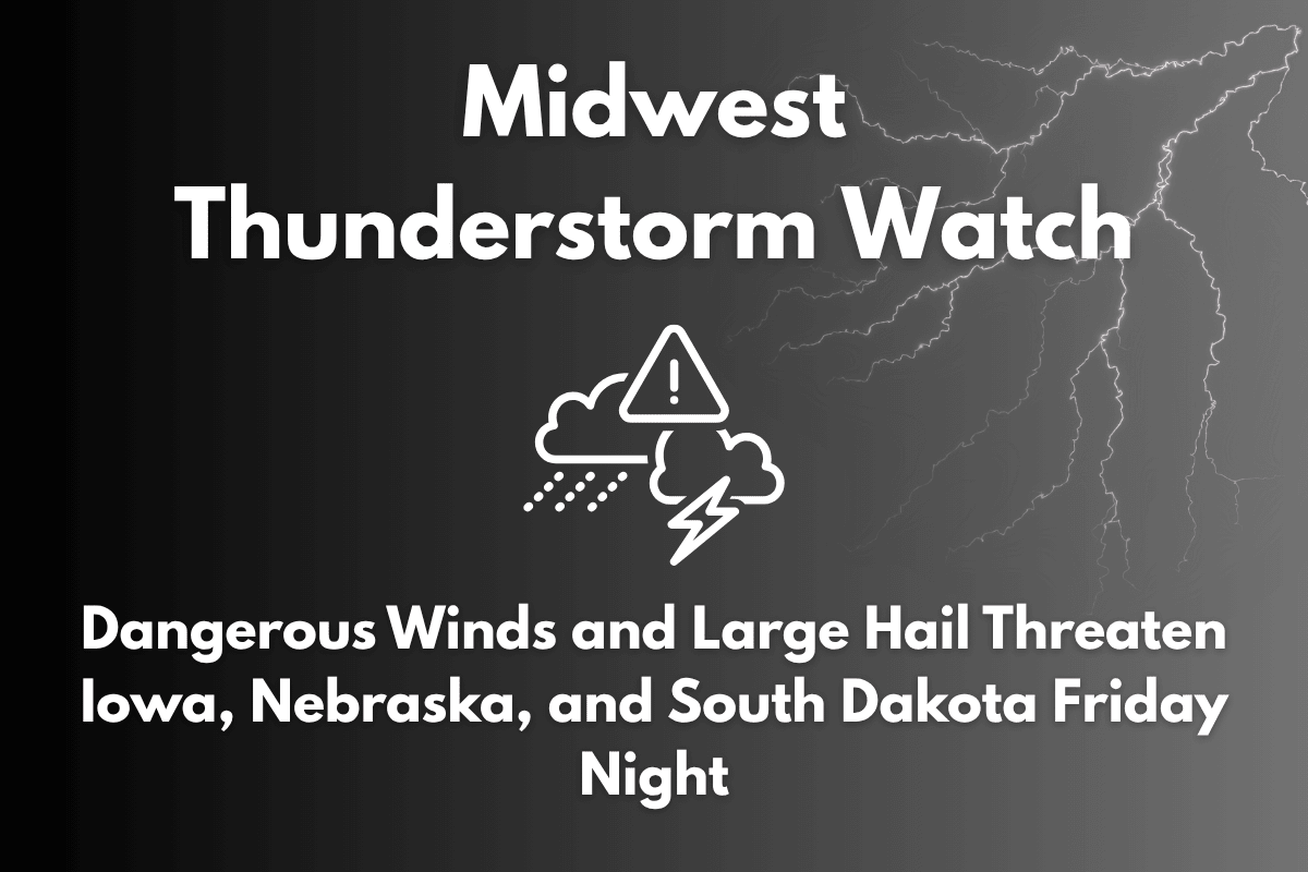
A fast-moving line of severe thunderstorms is set to impact northwest Iowa, northeast Nebraska, and southeast South Dakota, bringing dangerous winds and large hail through early Saturday morning.
The National Weather Service has issued Severe Thunderstorm Watch No. 470, which will remain in effect until 3 a.m. Saturday. The storm system is moving southeast from the Mitchell, South Dakota area toward Sioux City, Iowa, and has already caused significant damage in previous locations.
Severe Thunderstorm Watch in Effect for Multiple States
The watch covers areas of northwest Iowa, northeast Nebraska, and southeast South Dakota, including communities along and within 45 miles north and south of a line from Mitchell to northeast Sioux City.
The system has a history of producing 80 mph winds and hail up to 2 inches in diameter, which can cause significant damage to homes, vehicles, and crops. These intense thunderstorms are expected to impact key travel routes, including I-29, U.S. 20, and local highways.
Expected Dangers from the Storm
The primary risks from this storm include power outages, as high winds could bring down power lines and trees, affecting electricity across the region. Damaging winds of up to 80 mph can cause structural damage to buildings, knock down trees, and create hazardous conditions for motorists.
Large hail up to 2 inches in diameter could damage vehicles, crops, and roofs. Travel will become hazardous, particularly on Highways 20 and 75, where falling trees and debris could make driving dangerous.
Safety Measures for Residents
Residents in affected areas are urged to take several precautions. It’s essential to secure outdoor objects to prevent them from becoming projectiles in the strong winds. People should stay indoors and away from windows to avoid flying debris and broken glass.
Travel should be postponed, especially on highways and rural roads where debris and downed trees may block the way. Drivers of high-profile vehicles, such as trucks and RVs, should delay travel until the winds subside to avoid being blown off the road.
Broader Weather Pattern Impacting the Northern Plains
This storm is part of a larger severe weather pattern moving through the northern Plains this weekend, and additional watches and warnings may be issued as the storm system progresses. Residents should stay updated on local weather alerts to ensure they are informed of any changes in conditions.


