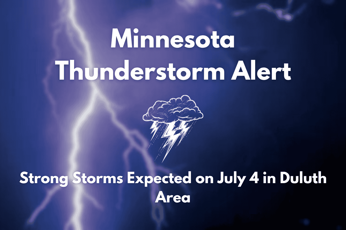
Duluth, Minnesota – Strong thunderstorms are expected to return to Northeast Minnesota and Northwest Wisconsin on Friday, July 4, bringing potential disruptions to outdoor plans and holiday celebrations. This comes after a week of scattered thunderstorms and rising temperatures.
Thunderstorm Forecast Leading to July 4
The National Weather Service in Duluth has warned that isolated afternoon thunderstorms are possible starting Monday, with more chances for storms on Wednesday and a more widespread system expected Friday afternoon through the evening. The temperatures are forecasted to rise into the mid-80s by the holiday, with lows staying in the mid-50s to low 60s throughout the week.
On Monday, scattered thunderstorms are expected across the region, especially in the late afternoon. However, drier weather is expected to return on Tuesday. A 30% chance of storms will develop again on Wednesday, primarily in the evening. Thursday will see mostly sunny skies, but by Friday, there is an increased risk of stronger, potentially severe storms.
Preparing for July 4 Storms
Residents in Duluth, Superior, and surrounding areas such as Cloquet and Ashland should prepare for the possibility of delays, power outages, and disruptions to outdoor events on Friday. The storms are expected to develop in the afternoon and continue into the evening, which could impact holiday activities like fireworks displays or outdoor gatherings.
If you are planning to travel or participate in outdoor events on July 4, it is essential to stay informed about the latest weather updates and be ready to take shelter if severe weather develops.
While the first half of the week will see a mix of thunderstorms and drier conditions, Friday, July 4, will bring the biggest storm risk. Be prepared for strong storms that could affect your plans. Stay updated with weather alerts and monitor forecasts as the day approaches.


