Minneapolis, Minnesota – Sudden downpours and dangerous lightning could disrupt southern Minnesota on Thursday, with 1–2 inches of rain and localized flooding expected. Storms will begin near the Iowa border and move northward by midday, potentially affecting travel on major roads like I-90 and I-35.
Thunderstorms and Rainfall Expected
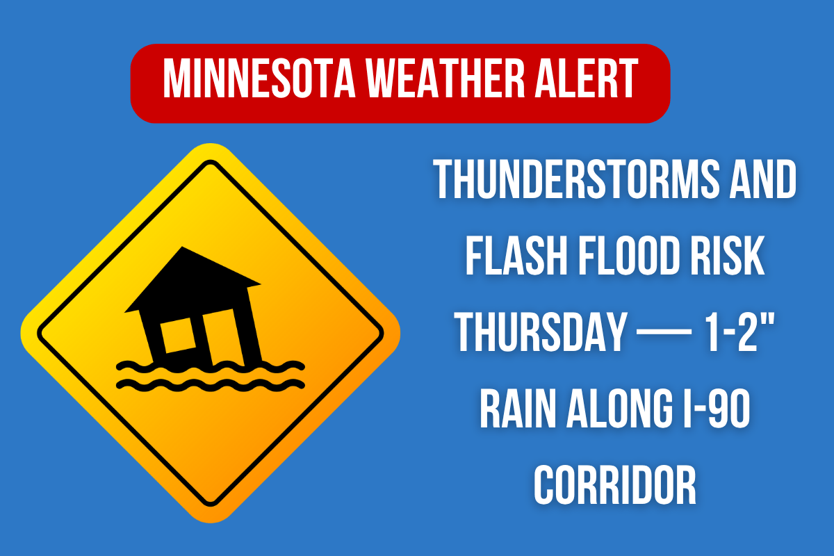
According to the National Weather Service in Chanhassen, strong to severe thunderstorms are expected to move through cities like Rochester, Albert Lea, Mankato, and the Twin Cities from Thursday afternoon through Friday. Rainfall totals of 1 to 2 inches are likely, with some areas near river basins possibly receiving higher amounts. A 90% chance of storms persists into Thursday night.
Potential Hazards for Thursday
Localized flash flooding, reduced visibility, and dangerous lightning may impact drivers, especially during the Thursday evening commute. Residents are advised to avoid flooded roads and secure outdoor items in preparation for wind gusts and lightning. It’s also recommended to keep phones charged and monitor local alerts for updates.
Friday’s Weather and Weekend Outlook
Storms will persist into Friday morning but will taper off to scattered showers by the evening. The weekend is expected to be drier, with only small chances for light rain late Saturday night and again on Sunday. Another round of stronger storms may develop by Monday afternoon.
Five-Day Weather Outlook (Minneapolis–St. Paul Metro)
- Wednesday, June 11: High 76°F, chance of PM showers and smoke.
- Thursday, June 12: High 72°F, thunderstorms likely after noon. Rainfall of 1–2”.
- Friday, June 13: High 68°F, morning storms, drier by afternoon.
- Saturday, June 14: High 71°F, partly sunny, slight chance of evening showers.
- Sunday, June 15: High 77°F, chance of afternoon/evening showers.
- Monday, June 16: High 81°F, storms possible late.
Southern Minnesota faces a significant storm risk Thursday with possible flash flooding, heavy rainfall, and hazardous conditions on the roads. Stay alert for weather updates, avoid flooded areas, and be prepared for ongoing rain into Friday.


